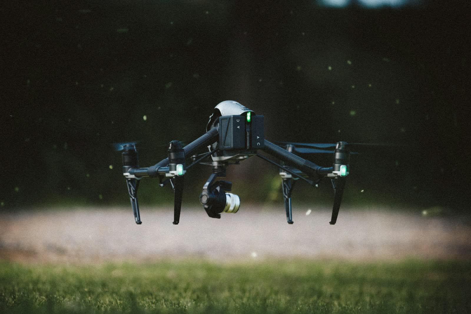
🎬 AERIAL VIDEO · LILLE (59) · €500–1,800 PER HALF-DAY
Drone aerial video in Lille
In Lille, the geometry of streets and squares draws perfect leading lines for the aerial camera: graphic top-down shots, then an opening move towards Citadelle Vauban and the Hauts-de-France horizon. The quote reflects the realities on the ground in Lille: site access, the department's airspace context (59) and the expected deliverable — reply within one working day.
The Lille-Lesquin CTR covers the south of the conurbation and part of the city: any flight in that volume requires an airport protocol. A few kilometres north, the Belgian border rules out any spill into foreign airspace, and the continuous urban fabric of the metropolis (Lille, Roubaix, Tourcoing) puts nearly all missions in the built-up-area scenario with notification to the Nord prefecture. The market is shaped by the Euralille office district — France's third-largest —, regional logistics and e-commerce, renovation of brick industrial buildings and sought-after Flemish heritage: Vieux-Lille, UNESCO-listed belfries, the Vauban citadel.
Typical missions in Lille
- Industrial films: production lines, logistics sites and know-how filmed from sky to ground
- Aerial sequences of Beffroi de l'hôtel de ville for documentaries, local authorities and productions
- Aerial archive footage of an area or a landmark construction project
- Documentary, music video, fiction: drone shots supporting a film crew
Local landmarks in Lille
On the mission-planning map, these places in Lille shape trajectories and framing:
- Grand-Place et Vieille Bourse
- Citadelle Vauban
- Beffroi de l'hôtel de ville
- Palais des Beaux-Arts
- Vieux-Lille
Rates
€500–1,800 per half-day — the range observed on the 2026 French market, including regulatory preparation, flight and delivery. Pricing reflects the conditions in Lille: area, access constraints, any authorisations and the delivery format.
Local regulations: flying in Lille
The shooting plan in Lille is set around controlled airspace (CTR de l'aéroport de Lille-Lesquin): some camera moves are replanned at lower height or on another axis after coordination with air traffic control.
A drone shoot follows open-category rules in clear areas and moves to the specific category (STS-01, prior declaration) as soon as it flies over a populated zone; productions receive insurance certificates and permits. Full regulations and rates: aerial video across France →
Information checked against the regulations in force as of September 2026 (EU regulations 2019/945 and 2019/947, applicable French decrees).
Frequently asked questions
Aerial video in Lille: what budget should you plan?
Allow €500–1,800 per half-day — the 2026 French market range, including regulatory preparation, flight and delivery. In Lille, coordination with the local airspace is included in the quote and arranged within a few days.
Which aerial shots work best in Lille?
Reveals of Beffroi de l'hôtel de ville and wide shots tying the city to its landscape — Hauts-de-France, 236,234 inhabitants seen from above — are the most requested sequences. Scouting sets the axis, time and regulatory framework for each shot.
How long does it take to obtain filming permits?
In open areas, no lead time: the flight can happen within days. In built-up areas, allow at least 10 working days for the prefectural declaration, and up to 4 weeks for sensitive sites.
Other drone services in Lille
- Surveying & photogrammetry in Lille from €800
- Precision agriculture in Lille from €8/ha
- Security & surveillance in Lille from €600
- Immersive FPV video in Lille from €700
- High-access cleaning in Lille from €500
- Drone pilot training in Lille from €350
- Aerial photography in Lille from €300
- All services in Lille
Aerial video near Lille
- Aerial video in Tourcoing Hauts-de-France
- Aerial video in Roubaix Hauts-de-France
- Aerial video in Dunkerque Hauts-de-France
- Aerial video in Calais Hauts-de-France
- Aerial video in Saint-Quentin Hauts-de-France
- Aerial video in Beauvais Hauts-de-France