🏗️ CONSTRUCTION SITE MONITORING · VALENCE (26) · €250–800 LE PASSAGE
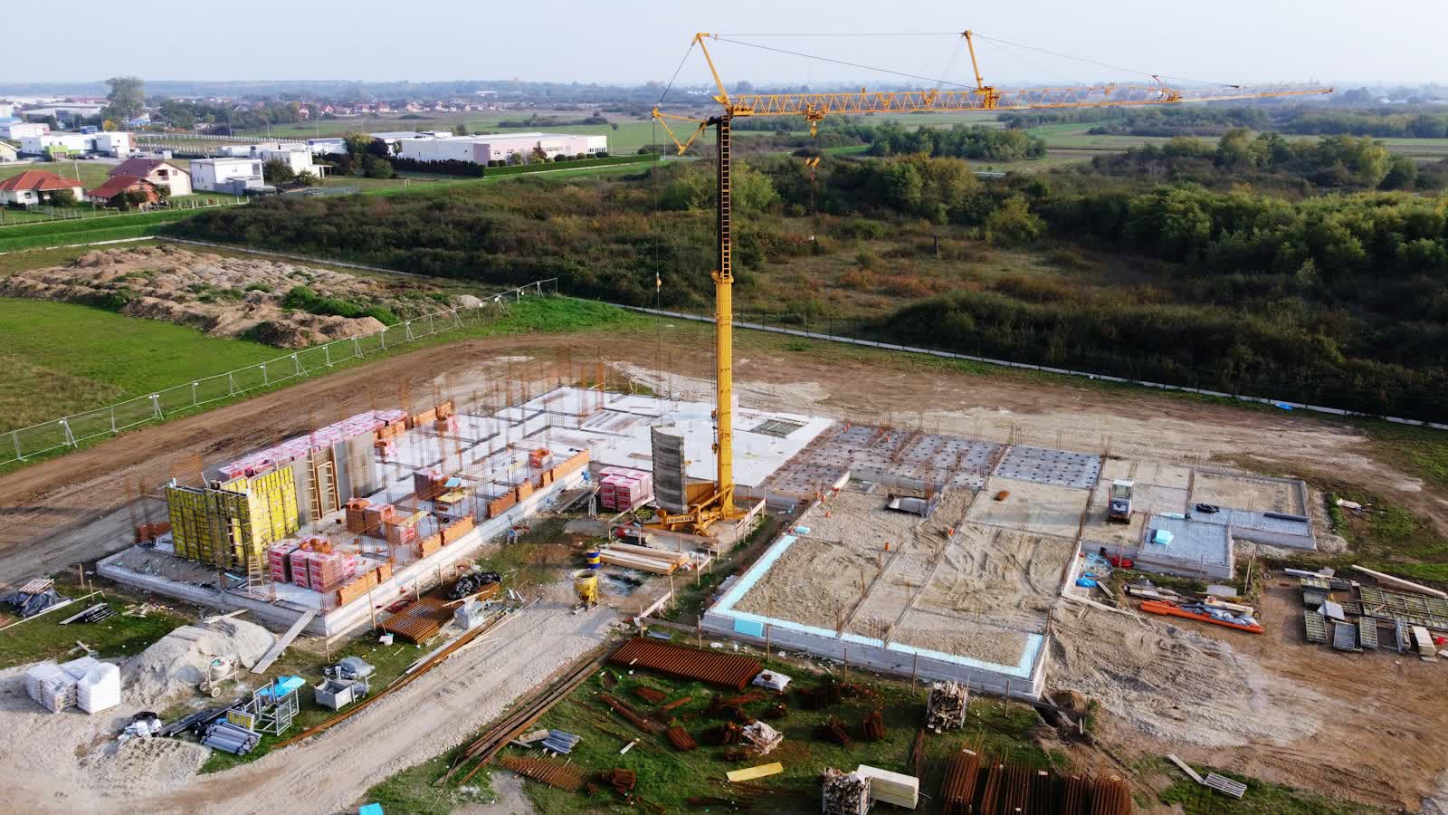
Drone construction site monitoring in Valence
Between the banks of the Rhône and railway land, construction sites in Valence often sit on constrained plots: the monthly aerial view freezes progress, anchors site meetings and documents reservations. From Cathédrale Saint-Apollinaire to the outlying districts, our pilots know the terrain of Valence and prepare every flight on the local aeronautical chart.
Prefecture of the Drôme on the left bank of the Rhône, Valence marks the "gateway to the South": an old town around Saint-Apollinaire cathedral, the Peynet bandstand, the Jouvet park overlooking the river, and orchards and lavender fields at the city gates. Valence-Chabeuil aerodrome (LFLU), to the east, is the main aeronautical point of attention; the Rhône corridor also concentrates motorway, high-speed rail and river routes that trigger the rules on overflying transport infrastructure. Valence's economy relies on food and gastronomy (the Vallée de la Gastronomie, Maison Pic), Rhône-corridor logistics and fruit and wine agriculture (Crozes-Hermitage nearby).
Typical missions in Valence
- Factory, warehouse and logistics-platform sites: orthophotos and volume calculations at every pass
- Restoration works on monuments in Valence: progress records right up close to the scaffolding
- Construction timelapse of a building or public facility
- Monthly orthophoto that overlays onto execution drawings
Local landmarks in Valence
These sites in Valence anchor the flight plans and the framing:
- Cathédrale Saint-Apollinaire
- Kiosque Peynet
- Parc Jouvet et bords du Rhône
- Maison des Têtes
- Château de Crussol en face de la ville
Rates
€250–800 le passage — the range observed on the 2026 French market, including regulatory preparation, flight and delivery. The exact quote depends on the site, the deliverable and the airspace context in Valence.
Flight rules in Valence
A monitored site in Valence under controlled airspace (Aérodrome de Valence-Chabeuil (LFLU)) gets a standing protocol with air traffic control: once in place, each monthly pass needs only short notice.
Site monitoring is flown within the works footprint, open category on land closed to the public; in urban areas a specific-category declaration covers the project's duration and its repeated passes. Full regulations and rates: construction site monitoring across France →
Information checked against the regulations in force as of September 2026 (EU regulations 2019/945 and 2019/947, applicable French decrees).
Frequently asked questions
Construction site monitoring in Valence: what budget should you plan?
Allow €250–800 le passage — the 2026 French market range, including regulatory preparation, flight and delivery. In Valence, coordination with the local airspace is included in the quote and arranged within a few days.
How often should a site in Valence be flown?
The standard rhythm is monthly, tightened to fortnightly during structural work. In Auvergne-Rhône-Alpes, weather guides the scheduling; every flight repeats the same camera axes for rigorous month-on-month comparison.
Can site photos be used in a dispute?
Yes: dated, geolocated images reproduced from the same angles are excellent factual evidence of progress or condition. For maximum evidentiary weight, they can be appended to a bailiff's official report.
Other drone services in Valence
- Precision agriculture in Valence from €8/ha
- Security & surveillance in Valence from €600
- Immersive FPV video in Valence from €700
- High-access cleaning in Valence from €500
- Drone pilot training in Valence from €350
- Aerial photography in Valence from €300
- Aerial video in Valence from €500
- All services in Valence
Construction site monitoring near Valence
- Construction site monitoring in Grenoble Auvergne-Rhône-Alpes
- Construction site monitoring in Villeurbanne Auvergne-Rhône-Alpes
- Construction site monitoring in Clermont-Ferrand Auvergne-Rhône-Alpes
- Construction site monitoring in Annecy Auvergne-Rhône-Alpes
- Construction site monitoring in Chambéry Auvergne-Rhône-Alpes
- Construction site monitoring in Bourg-en-Bresse Auvergne-Rhône-Alpes
Construction site monitoring: every city →