CROP MAPPING GUIDE · UPDATED OCTOBER 2026
Drone multispectral crop mapping: NDVI, flight calendar, variable rate
New
For €39 VAT included (€32.50 excl. VAT): a guide to commission drone crop mapping that actually serves a decision.
After payment
- The page after payment shows the link to your guide: you start reading right away.
- An email from C-DRONE (no-reply@tech-bharat.com) sends you this link again with your order details (amount, VAT, order number).
- Find my purchases gives you your links back at any time.
- No phone calls: nobody will ring you.
Guarantee: content as described, or your money back
For €110 more, the complete library: all 43 guides, this one included →
VAT included (€32.50 excl. VAT) · secure Stripe payment (card, Apple Pay, Google Pay) · terms of sale (in French)
What you get
- The online guide: 8 chapters, about 29 A4 pages, printable to PDF
- 4 ready-to-copy templates: model specification for multispectral crop mapping · crop map reading sheet · season flight plan · deliverables acceptance checklist
- For: Wine growers and fruit growers
- Delivery: instant online access right after payment; Stripe invoice by email
- Preview: the whole first chapter, free, further down this page
8chapters
29printable A4 pages
4templates to copy
22checklist items
Checked at the source
Reviewed by industry professionals. Every rule links to its text.
273links to official texts across our guides
71automated checks before every release
October 2026latest revision of this guide
- Primary sources: Légifrance, EUR-Lex, Géoportail.
- Every figure linked to its source, dated in the last chapter.
- Dated updates: you always read the latest version.
Who it is for
- Arable farmers considering variable-rate nitrogen or spot weeding from drone maps
- Wine growers and fruit growers who want to zone vigour, track stress or prepare selective harvesting
- Cooperatives, agronomists and agri-businesses commissioning maps for several farms in France
- Drone operators and agricultural contractors building a crop-mapping offer with solid specifications
In pictures
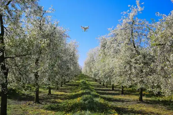
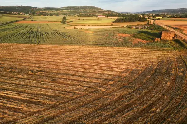
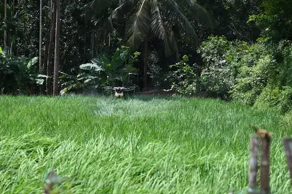
Illustrative photos, published by their authors under free licences.
Contents of the complete guide
- What a crop map can decide: the decision table (free extract below)
- Sensors: RGB, multispectral, thermal, hyperspectral
- NDVI, NDRE, GNDVI: calculation, reading and limits of the indices
- The flight calendar: ten crops, the stages that matter
- Calibration, resolution and flight conditions: what makes a map comparable
- From map to terminal: zoning, nitrogen prescription, spot weeding, export formats
- Commissioning the job: flight rules, comparable quotes, acceptance, data
- Ready-to-copy templates: specification, reading sheet, flight plan, acceptance checklist
- Sources and consultation dates
Included: 22 checklist items and 9 decision or reference tables.
Introduction
A colourful NDVI map is easy to obtain and hard to use. Everyone understands red and green, but the map does not say why a zone is lagging, how much nitrogen to apply, or whether next week's patch will be comparable with today's. Many farms have paid for one or two seasons of maps, found them attractive, then stopped because no decision ever came out of them.
This guide is written to avoid that outcome. It starts from the decision to be made (adjusting an application, targeting weed control, zoning a harvest, proving damage) and works back to the sensor, the index, the flight date, the resolution and the delivery format. It is for whoever commissions the map, whether a farm, a cooperative or an agronomist, and for the operator who produces it. It is written for France: flight rules, nitrate rules and the technical institutes it refers to are French, and it suits a foreign estate owner or contractor working in France as much as a French farm. It ends with four ready-to-copy templates: a model specification, a map reading sheet, a season flight plan built on the ten-crop calendar in chapter 4, and a deliverables acceptance checklist.
The guide is up to date as of 29 October 2026. The flight rules quoted are those of the European regulation in force on that date; the agronomic markers (growth stages, windows) are general markers, to be fine-tuned each season with your agronomist and the bulletins of the technical institute for your crop. Studies are cited with their DOI.
What a crop map can decide: the decision table
The question to ask before talking about sensors
The first question is not "which drone?" or "which index?", but "which decision will this map change, and when?". A map that is linked to no decision is a curiosity. A map linked to a decision has a deadline (the day the spreader, the sprayer or the harvest crew goes in), a useful resolution (that of the machine doing the work) and a success criterion (less input for the same yield, a more uniform harvest batch, a successful insurance claim).
Three families of decisions cover most cases.
Family 1: varying an input
Redistributing a nitrogen application between zones of a field, targeting herbicide on weed patches, adjusting irrigation. The map must arrive on time, in the right format for the terminal, with zones compatible with the machine's working width. This is the most demanding family: a map that is late or unreadable by the terminal is worthless.
Family 2: targeting a field visit
Finding the zones that are lagging so you can go and look: water stress, disease outbreak, pest damage, missing plants, drainage problems. The map does not decide; it directs the field visit. Resolution matters more than format, and speed matters more than fine calibration.
Family 3: measuring, counting, proving
Counting emergence, measuring a destroyed area, documenting hail or game damage, building evidence for an insurer or an inspection. This is usually high-resolution RGB, georeferenced, dated, with a report. The vegetation index is secondary.
The decision table
| Your decision | Sensor | Index or deliverable | Window | What carries out the decision |
|---|---|---|---|---|
| Vary the 2nd or 3rd nitrogen application on wheat | Calibrated multispectral | NDRE or red-edge index, 3 to 5 zones | A few days before the application | Variable-rate spreader or sprayer, map loaded in the terminal |
| Calculate the oilseed rape rate from biomass | Calibrated multispectral | Biomass map calibrated with plant weighings | Start and end of winter | Rate calculation, then possible variation |
| Spot-spray weeds post-emergence | Very high-resolution RGB, sometimes multispectral | Weed patch map, buffer zones | A few days, before the rows close | Sprayer with section or nozzle shut-off |
| Count emergence and decide on re-drilling | High-resolution RGB | Density by zone, gap map | Early stages, rows still readable | Drill, re-drilling decision |
| Zone a vineyard for selective harvesting | Multispectral | Vigour map at row level, zoning | Around veraison | Harvest crew, winery |
| Locate water stress | Thermal, with multispectral | Canopy temperature map or stress index | Summer, clear sky, around solar noon | Irrigation, field visit |
| Track a disease outbreak | Multispectral, RGB | Map of anomalies to check | From the first symptoms, repeated flights | Visit, advice, treatment according to label |
| Document damage (hail, game, lodging) | High-resolution RGB | Dated orthophoto, measured areas, report | As soon as possible after the event | Insurer, loss adjuster, owner |
| Estimate an orchard crop load | RGB, sometimes multispectral | Count or estimate per tree | Before harvest | Harvest planning, marketing |
When the map is useless
- The field is uniform. If soil, history and relief are uniform, the map will show a uniform field and variable rate will have nothing to redistribute. The study by Argento and co-authors (chapter 6) shows this clearly: the nitrogen reduction achieved ranged from 5 to 40% depending on field heterogeneity.
- No machine can carry out the decision. A variable-rate map without a spreader that can vary its rate, or a weed map without a sprayer with section shut-off, is just an observation map.
- The decision has already been made. If the application is booked and the rate fixed, the map will only decorate the file.
- Satellite imagery is enough. On large arable plains where the decision is taken over zones tens of metres wide, free satellite imagery (Sentinel-2, 10 m per pixel in its visible and near-infrared bands) can be enough, if the clouds let an image through at the right time. The drone is justified by resolution, a date of your choosing and independence from cloud cover; our comparison of drone vs satellite for precision agriculture covers the trade-off.
Common mistakes
- Buying a flight subscription before knowing what the flights are for. One flight, one decision: if you cannot name a flight's decision, do not order it.
- Ordering "an NDVI map" without stating the growth stage, the crop and the purpose. The provider will deliver what they know how to do, when they are available.
- Comparing two maps from two dates without calibration. A zone that is "redder" in June than in May may be down to the light, not the crop (chapter 5).
- Treating colour as a diagnosis. A weak zone on the map is a question for the field, not an answer.
- Forgetting the terminal. The map must be tested on the machine before application day (chapter 6).
How it works
- You pay on StripeBy card, Apple Pay or Google Pay, in one go, on the checkout page hosted by Stripe: your card details never go through our servers.
- You read it right awayRight after payment, you land on the complete guide's page. Bookmark it or print it to PDF; the link and the invoice are emailed to you, and everything stays findable with “Find my purchases”, at the bottom of every page.
- Guaranteed contentAs described, or your money back: email devis@c-drone.fr and we restore access or refund you (terms of sale, in French).
Frequently asked questions
What does “Drone multispectral crop mapping: commissioning, reading NDVI maps and variable-rate applications” contain and how much is it?
For €39 VAT included (€32.50 excl. VAT), you get drone multispectral crop mapping: commissioning, reading NDVI maps and variable-rate applications: 8 chapters online, about 29 printable A4 pages and 4 ready-to-copy templates, to commission (or carry out) drone crop mapping that actually serves a decision: choose between RGB, multispectral, thermal and hyperspectral sensors, time flights to the growth stages of ten crops, require a calibrated map that compares from one date to the next, read NDVI, NDRE and GNDVI knowing their limits, go from zoning to a variable-rate nitrogen or weeding map loaded into the terminal, and accept the deliverables with a checklist.
How do I receive the guide?
Right after payment you are redirected to the complete guide's page. Bookmark it, or print it to PDF (Ctrl+P or Cmd+P, “Save as PDF”). Stripe also emails you the receipt.
Do I get an invoice?
Yes: Stripe generates the invoice and emails it. You can enter your company name and VAT number at checkout. Seller: Lacangel Group (VAT FR21995268018); prices VAT included.
Is the guide kept up to date?
Yes. The guide's page is updated when the rules change; your access stays valid and you always read the latest version.
Which texts is the guide based on?
On the official texts in force (EU regulations, French decrees and codes), cited and dated with their links: you can check every rule at its source, which is authoritative. C-DRONE is an independent publisher.
Which device can I read it on?
Computer, tablet or phone: it is a web page, with no app or account to create. Print it to PDF to archive it or share it within your team.
What guarantee do I get?
The content matches its description, or you get your money back: email devis@c-drone.fr and we restore access or refund you (terms of sale, in French). This also applies to business purchases.
Other guides
New Drone light show guide
Organising a drone light show in France: budget, permits, contract
Town, company or wedding: check whether your project works, file the prefecture application on time, compare quotes, sign a contract that deals with the weather and run the night itself
€29 incl. VAT · €24.17 excl. VAT · 11 chapters · instant access
New CATS exam prep
Passing the French CATS drone exam: course and 104 practice questions
The eight subjects of the official DGAC syllabus summarised, 64 answered and explained questions, a 40-question mock exam and a four-week revision plan, with the French terms you will meet
€24 incl. VAT · €20.00 excl. VAT · 11 chapters · instant access
New Thermography guide
Drone thermography in France: commission, check and use the report
Roofs, facades, flat roofs, solar PV: choose the right measurement window, write the specification, check the flight conditions, read the report in fifteen minutes and turn it into repair decisions
€29 incl. VAT · €24.17 excl. VAT · 11 chapters · instant access
Free articles on the topic
- Multispectral or RGB camera on an agricultural drone: differences, uses, price
- Variable-rate nitrogen with a drone: prescription maps for wheat and rapeseed, method, prices
- Drone Weed Mapping: Site-Specific Spraying and Variable-Rate Maps in Arable Crops
- Detecting Downy and Powdery Mildew in Vineyards with a Multispectral Drone: What the Imagery Really Shows
- Hyperspectral Camera on a Drone: What It Adds Over Multispectral, Uses and Price
- Drone or Satellite for Precision Agriculture: Which One to Choose?
Instant access to your guide after payment · terms of sale (in French). Questions before buying: devis@c-drone.fr.