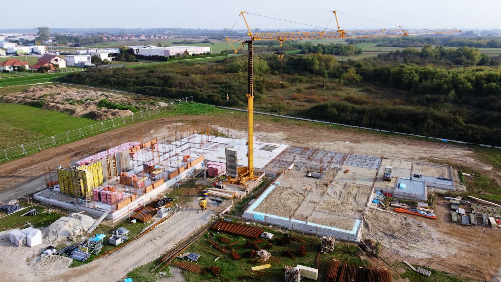
🏗️ CONSTRUCTION SITE MONITORING · SAINT-MALO (35) · €250–800 LE PASSAGE
Drone construction site monitoring in Saint-Malo
In Saint-Malo, seafront and inner-harbour construction moves to the rhythm of tides and tourist seasons: drone monitoring documents every phase, even when site access is constrained by ongoing operations. From Fort National to the outlying districts, our pilots know the terrain of Saint-Malo and prepare every flight on the local aeronautical chart.
The leading port of Brittany's north coast (ferries to the Channel Islands and England, fishing, trade), Saint-Malo also lives on thalassotherapy, tourism and agri-food (Roullier). Common missions: tourism and hotel imagery, seafront real estate, port construction monitoring, offshore racing and nautical events. Saint-Malo's walled city, rebuilt identically after 1944, raises its ramparts above beaches swept by Europe's largest tides: the Fort National, the Grand Bé where Chateaubriand is buried and the Petit Bé islet emerge at low tide — a unique drone spectacle.
Examples of assignments in Saint-Malo
- Port and river works: breakwaters, quays, dredging, documented phase by phase
- Hotel and residence builds and refits around Saint-Malo, monitored out of season
- Construction timelapse of a building or public facility
- Monthly progress records for project owners and site meetings
Sites and landmarks in Saint-Malo
To prepare flights in Saint-Malo (46,097 inhabitants, Bretagne), the pilot relies on landmarks such as:
- Remparts de l'intra-muros
- Fort National
- Grand Bé et Petit Bé
- Cathédrale Saint-Vincent
- Cité d'Alet et tour Solidor à Saint-Servan
Rates
€250–800 le passage — the range observed on the 2026 French market, including regulatory preparation, flight and delivery. Every mission in Saint-Malo is priced on its own facts: area to cover, flight height, expected deliverable and local formalities.
The airspace context in Saint-Malo
A monitored site in Saint-Malo under controlled airspace (CTR de l'aéroport de Dinard-Pleurtuit (LFRD)) gets a standing protocol with air traffic control: once in place, each monthly pass needs only short notice.
Site monitoring is flown within the works footprint, open category on land closed to the public; in urban areas a specific-category declaration covers the project's duration and its repeated passes. Full regulations and rates: construction site monitoring across France →
Information checked against the regulations in force as of September 2026 (EU regulations 2019/945 and 2019/947, applicable French decrees).
Frequently asked questions
Construction site monitoring in Saint-Malo: what budget should you plan?
Allow €250–800 le passage — the 2026 French market range, including regulatory preparation, flight and delivery. In Saint-Malo, coordination with the local airspace is included in the quote and arranged within a few days.
How often should a site in Saint-Malo be flown?
The standard rhythm is monthly, tightened to fortnightly during structural work. In Bretagne, weather guides the scheduling; every flight repeats the same camera axes for rigorous month-on-month comparison.
How often should the drone fly over a site?
Monthly is most common: it matches progress-payment cycles. Fast phases (earthworks, lifting, structural work) justify fortnightly or even weekly visits for a dense timelapse.
Other drone services in Saint-Malo
- Security & surveillance in Saint-Malo from €600
- Immersive FPV video in Saint-Malo from €700
- High-access cleaning in Saint-Malo from €500
- Drone pilot training in Saint-Malo from €350
- Aerial photography in Saint-Malo from €300
- Aerial video in Saint-Malo from €500
- Real estate drone services in Saint-Malo from €250
- All services in Saint-Malo
Construction site monitoring near Saint-Malo
- Construction site monitoring in Lyon Auvergne-Rhône-Alpes
- Construction site monitoring in Toulouse Occitanie
- Construction site monitoring in Nice Provence-Alpes-Côte d'Azur
- Construction site monitoring in Nantes Pays de la Loire
- Construction site monitoring in Rennes Bretagne
- Construction site monitoring in Brest Bretagne
Construction site monitoring: every city →