🏗️ CONSTRUCTION SITE MONITORING · TOURS (37) · €250–800 LE PASSAGE
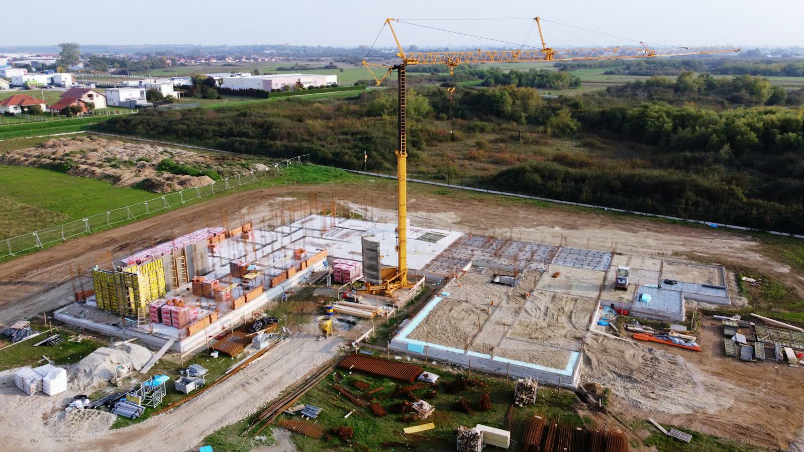
Drone construction site monitoring in Tours
Between riverside roads and tight footprints, construction sites in Tours lack the standback for ground photography: the drone provides the missing height and repeats the exact same view at every pass. From Place Plumereau et Vieux-Tours to the outlying districts, our pilots know the terrain of Tours and prepare every flight on the local aeronautical chart.
Tours' position at the heart of château country (Villandry, Amboise, Chenonceau within the hour) makes it an ideal base for heritage and tourism imagery. Add Vouvray and Montlouis vineyards, offices in the Deux-Lions district, and steady inspection demand on old tuffeau-stone buildings — a moisture-sensitive stone drones can document without scaffolding. Tours-Val de Loire airport, immediately north of the centre, retains a military footprint and a CTR covering the city: most local missions require a protocol.
What we deliver in Tours
- Time-lapses and progress reports for developers and contractors in Tours
- Restoration works on monuments in Tours: progress records right up close to the scaffolding
- Construction timelapse of a building or public facility
- Earthworks monitoring with cut-and-fill volume calculation
Reference points in the area
On the mission-planning map, these places in Tours shape trajectories and framing:
- Cathédrale Saint-Gatien
- Place Plumereau et Vieux-Tours
- Basilique Saint-Martin
- Pont Wilson sur la Loire
- Château de Villandry à proximité
Rates
€250–800 le passage — the range observed on the 2026 French market, including regulatory preparation, flight and delivery. The exact quote depends on the site, the deliverable and the airspace context in Tours.
Flight rules in Tours
A monitored site in Tours under controlled airspace (CTR de Tours-Val de Loire (emprise militaire)) gets a standing protocol with air traffic control: once in place, each monthly pass needs only short notice.
Site monitoring is flown within the works footprint, open category on land closed to the public; in urban areas a specific-category declaration covers the project's duration and its repeated passes. Full regulations and rates: construction site monitoring across France →
Information checked against the regulations in force as of September 2026 (EU regulations 2019/945 and 2019/947, applicable French decrees).
Frequently asked questions
Construction site monitoring in Tours: what budget should you plan?
Allow €250–800 le passage — the 2026 French market range, including regulatory preparation, flight and delivery. In Tours, coordination with the local airspace is included in the quote and arranged within a few days.
How often should a site in Tours be flown?
The standard rhythm is monthly, tightened to fortnightly during structural work. In Centre-Val de Loire, weather guides the scheduling; every flight repeats the same camera axes for rigorous month-on-month comparison.
How often should the drone fly over a site?
Monthly is most common: it matches progress-payment cycles. Fast phases (earthworks, lifting, structural work) justify fortnightly or even weekly visits for a dense timelapse.
Other drone services in Tours
- Drone pilot training in Tours from €350
- Aerial photography in Tours from €300
- Aerial video in Tours from €500
- Real estate drone services in Tours from €250
- Weddings & events in Tours from €400
- Roof inspection in Tours from €200
- Facade inspection in Tours from €300
- All services in Tours
Construction site monitoring near Tours
- Construction site monitoring in Orléans Centre-Val de Loire
- Construction site monitoring in Bourges Centre-Val de Loire
- Construction site monitoring in Blois Centre-Val de Loire
- Construction site monitoring in Châteauroux Centre-Val de Loire
- Construction site monitoring in Chartres Centre-Val de Loire
- Construction site monitoring in Paris Île-de-France
Construction site monitoring: every city →