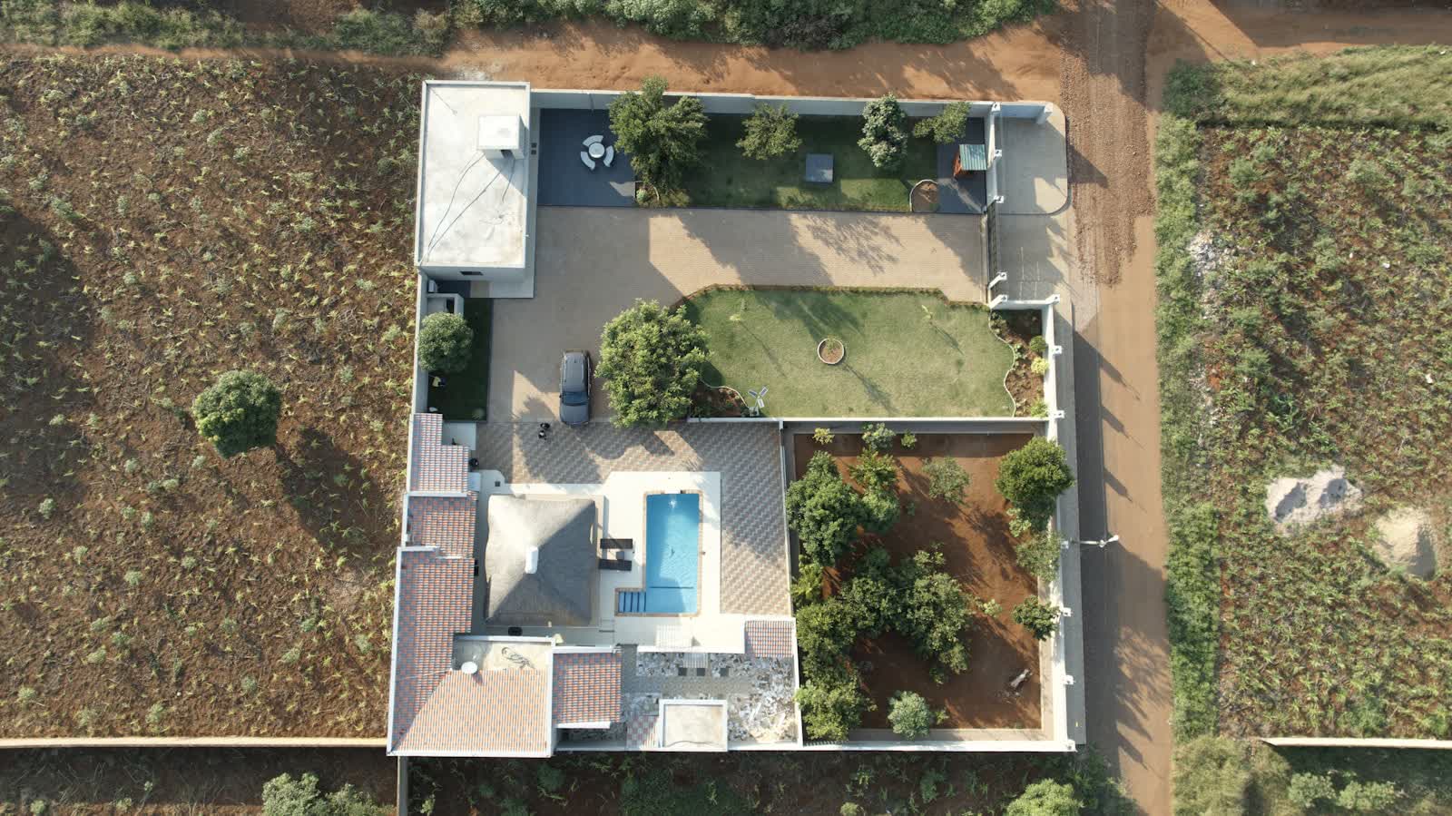
🏠 REAL ESTATE DRONE SERVICES · TOURS (37) · €250–700 PER ASSIGNMENT
Drone real estate drone services in Tours
In Tours, closeness to the Loire and the Cher and the quays drives property value: an aerial shot proves it in one image, placing the address within its neighbourhood, riverbanks and main routes. From the town centre to the business parks, the pilots covering Tours and its department (37) match equipment and flight plan to each order.
Tours' position at the heart of château country (Villandry, Amboise, Chenonceau within the hour) makes it an ideal base for heritage and tourism imagery. Add Vouvray and Montlouis vineyards, offices in the Deux-Lions district, and steady inspection demand on old tuffeau-stone buildings — a moisture-sensitive stone drones can document without scaffolding. Tours-Val de Loire airport, immediately north of the centre, retains a military footprint and a CTR covering the city: most local missions require a protocol.
Typical missions in Tours
- Aerial presentation of wine properties: buildings, plots and terroir in a single flight
- Photography of character properties and period buildings, set in their historic surroundings
- View from the height of future floors of a new development (view simulation)
- Roof and access photos for a pre-sale survey file
Sites and landmarks in Tours
These sites in Tours anchor the flight plans and the framing:
- Cathédrale Saint-Gatien
- Place Plumereau et Vieux-Tours
- Basilique Saint-Martin
- Pont Wilson sur la Loire
- Château de Villandry à proximité
Rates
€250–700 per assignment — the range observed on the 2026 French market, including regulatory preparation, flight and delivery. The exact quote depends on the site, the deliverable and the airspace context in Tours.
Flight rules in Tours
Depending on the property's address in Tours, nearby controlled airspace (CTR de Tours-Val de Loire (emprise militaire)) may cap flight height: the pilot adapts altitude and axis to deliver the same visuals within the protocol.
Real-estate shoots fall under the open category at low height above the property's own plot; in dense areas a specific-category declaration may be required, and neighbours' privacy is systematically protected. Full regulations and rates: real estate drone services across France →
Information checked against the regulations in force as of September 2026 (EU regulations 2019/945 and 2019/947, applicable French decrees).
Frequently asked questions
Real estate drone services in Tours: what budget should you plan?
Allow €250–700 per assignment — the 2026 French market range, including regulatory preparation, flight and delivery. In Tours, coordination with the local airspace is included in the quote and arranged within a few days.
Does aerial photography really sell faster in Tours?
In a market of 136,463 inhabitants, a listing with an aerial view stands out instantly on the portals: it shows the plot, the surroundings and the distance to points of interest — Château de Villandry à proximité for instance — which buyers check anyway. Our agency clients use it first for properties with outdoor space.
Do neighbours need to approve photographing a house?
No, but their privacy must be respected: we frame shots to avoid neighbouring properties and blur identifying elements (number plates, people, visible interiors) before delivery if needed.
Other drone services in Tours
- Facade inspection in Tours from €300
- Aerial thermal imaging in Tours from €500
- Construction site monitoring in Tours from €250
- Surveying & photogrammetry in Tours from €800
- Precision agriculture in Tours from €8/ha
- Security & surveillance in Tours from €600
- Immersive FPV video in Tours from €700
- All services in Tours
Real estate drone services near Tours
- Real estate drone services in Marseille Provence-Alpes-Côte d'Azur
- Real estate drone services in Lyon Auvergne-Rhône-Alpes
- Real estate drone services in Toulouse Occitanie
- Real estate drone services in Nice Provence-Alpes-Côte d'Azur
- Real estate drone services in Nantes Pays de la Loire
- Real estate drone services in Montpellier Occitanie
Real estate drone services: every city →