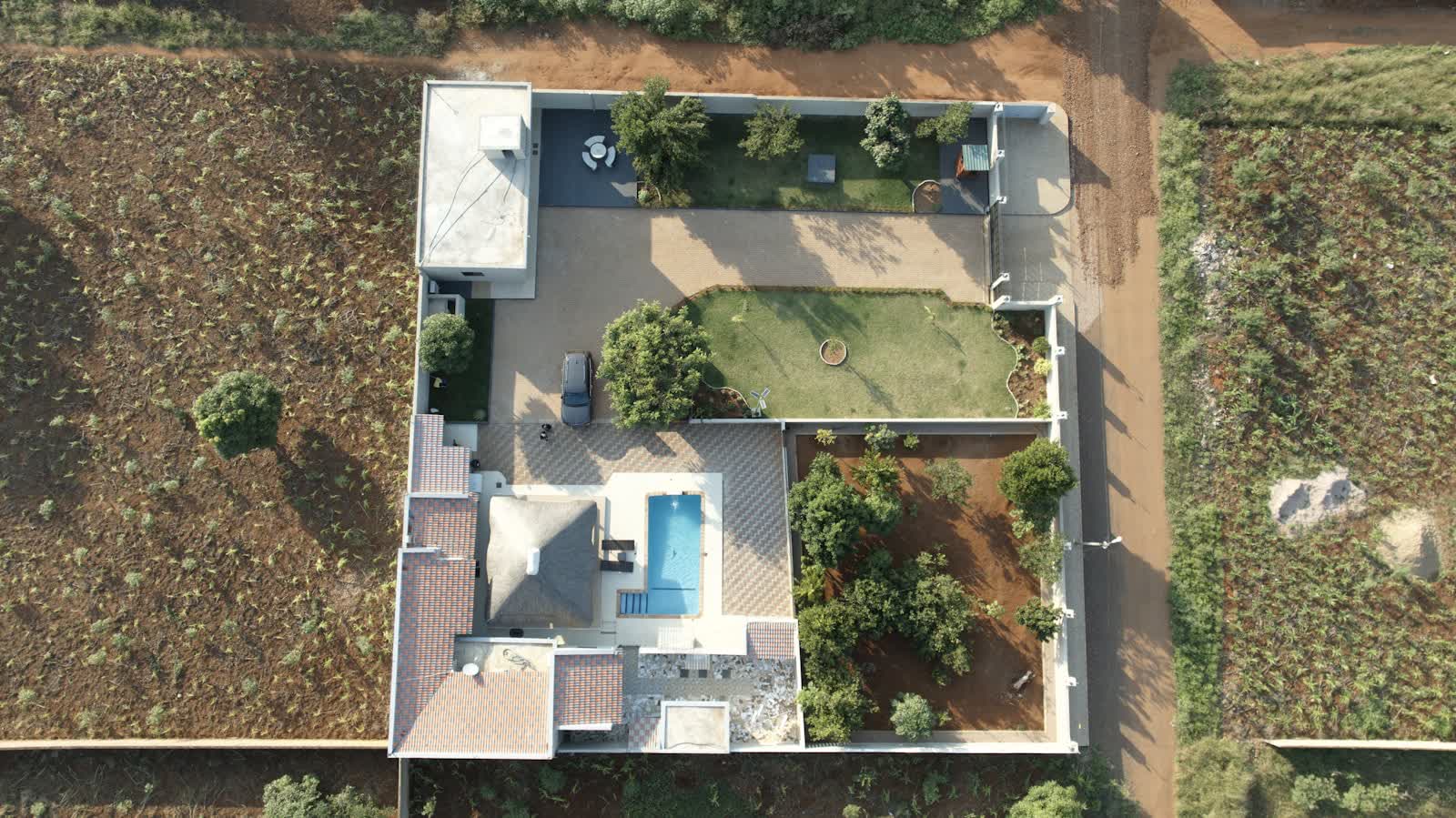
🏠 REAL ESTATE DRONE SERVICES · CAEN (14) · €250–700 PER ASSIGNMENT
Drone real estate drone services in Caen
In Caen, the aerial image places a property in its true geography: plot, orientation, neighbourhood, distance to the centre and schools. For houses with land around Caen, it is often the photo that triggers the viewing. From the town centre to the business parks, the pilots covering Caen and its department (14) match equipment and flight plan to each order.
Local demand pairs heritage — a ducal castle among Europe's largest, the Men's and Ladies' Abbeys — with remembrance tourism towards the D-Day beaches and war cemeteries (overflight tightly controlled during June commemorations), Normandy campuses, port peninsula regeneration works and the horse-breeding and farming economy of the bocage minutes away. Caen-Carpiquet airport, immediately west, imposes its CTR on part of the conurbation and its traffic grows steadily: protocols are the norm for west-side flights.
What the service covers in Caen
- Imaging holiday residences and second homes around Caen
- Showcasing offices, floorplates and commercial assets for property firms and agents in Caen
- View from the height of future floors of a new development (view simulation)
- Roof and access photos for a pre-sale survey file
Sites and landmarks in Caen
On the mission-planning map, these places in Caen shape trajectories and framing:
- Château de Caen
- Abbaye-aux-Hommes
- Abbaye-aux-Dames
- Mémorial de Caen
- Église Saint-Pierre
Rates
€250–700 per assignment — the range observed on the 2026 French market, including regulatory preparation, flight and delivery. Pricing reflects the conditions in Caen: area, access constraints, any authorisations and the delivery format.
The airspace context in Caen
Depending on the property's address in Caen, nearby controlled airspace (CTR de l'aéroport de Caen-Carpiquet) may cap flight height: the pilot adapts altitude and axis to deliver the same visuals within the protocol.
Real-estate shoots fall under the open category at low height above the property's own plot; in dense areas a specific-category declaration may be required, and neighbours' privacy is systematically protected. Full regulations and rates: real estate drone services across France →
Information checked against the regulations in force as of September 2026 (EU regulations 2019/945 and 2019/947, applicable French decrees).
Frequently asked questions
Real estate drone services in Caen: what budget should you plan?
Allow €250–700 per assignment — the 2026 French market range, including regulatory preparation, flight and delivery. In Caen, coordination with the local airspace is included in the quote and arranged within a few days.
Does aerial photography really sell faster in Caen?
In a market of 105,403 inhabitants, a listing with an aerial view stands out instantly on the portals: it shows the plot, the surroundings and the distance to points of interest — Abbaye-aux-Dames for instance — which buyers check anyway. Our agency clients use it first for properties with outdoor space.
What is the turnaround from order to delivery?
In unrestricted areas, we shoot within 72 hours and deliver 48 hours after the flight. If a prefectural declaration is needed (town centre, controlled zone), add 10 working days.
Other drone services in Caen
- Surveying & photogrammetry in Caen from €800
- Precision agriculture in Caen from €8/ha
- Security & surveillance in Caen from €600
- Immersive FPV video in Caen from €700
- High-access cleaning in Caen from €500
- Drone pilot training in Caen from €350
- Aerial photography in Caen from €300
- All services in Caen
Real estate drone services near Caen
- Real estate drone services in Nantes Pays de la Loire
- Real estate drone services in Montpellier Occitanie
- Real estate drone services in Strasbourg Grand Est
- Real estate drone services in Le Havre Normandie
- Real estate drone services in Rouen Normandie
- Real estate drone services in Cherbourg-en-Cotentin Normandie
Real estate drone services: every city →