🏗️ CONSTRUCTION SITE MONITORING · BORDEAUX (33) · €250–800 LE PASSAGE
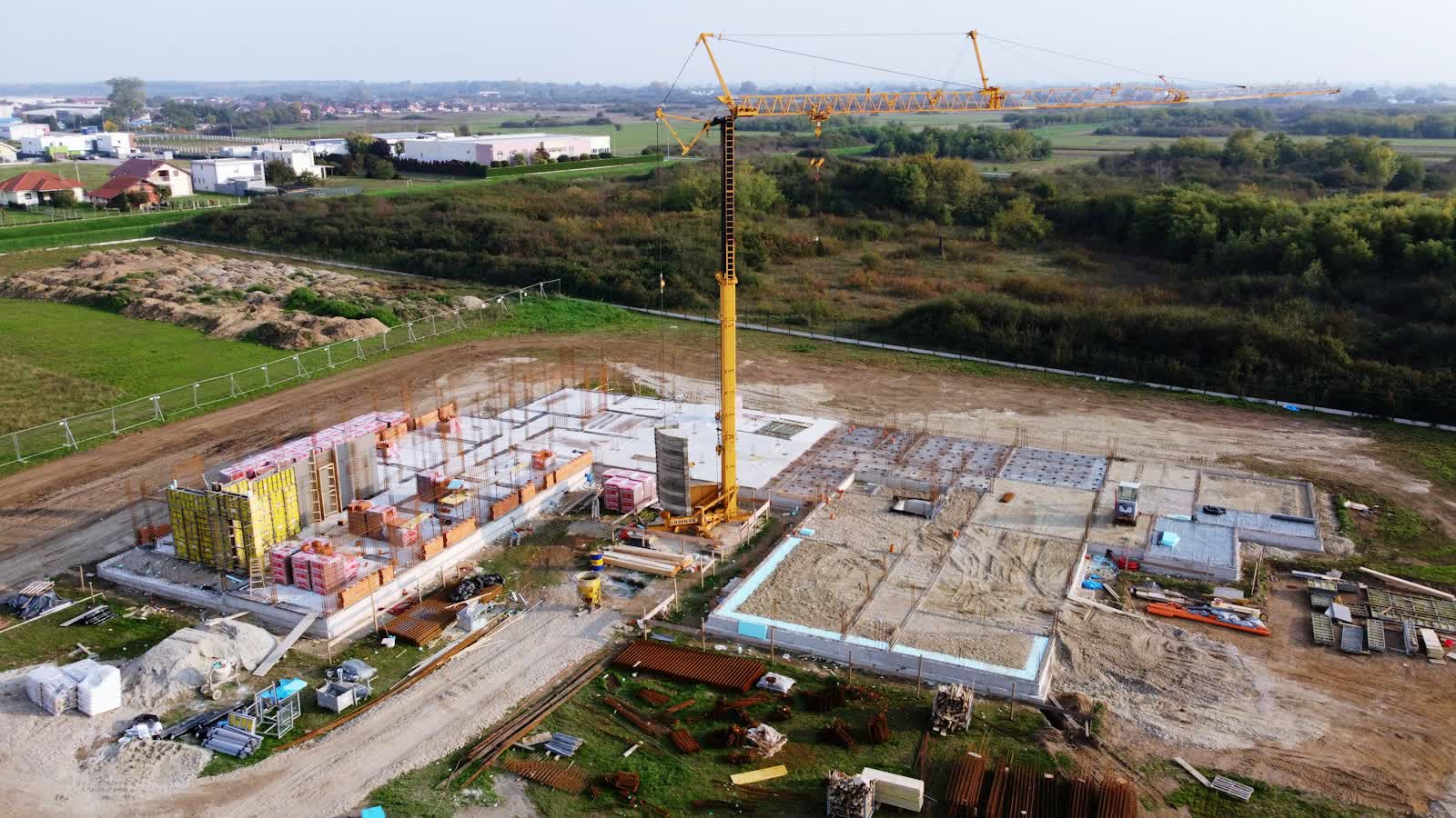
Drone construction site monitoring in Bordeaux
Between riverside roads and tight footprints, construction sites in Bordeaux lack the standback for ground photography: the drone provides the missing height and repeats the exact same view at every pass. From the town centre to the business parks, the pilots covering Bordeaux and its department (33) match equipment and flight plan to each order.
The Bordeaux-Mérignac CTR, shared with air base 106, covers the west of the conurbation: urban flights require coordination with both civil and military aviation. Sensitive sites abound — the Dassault plant and Mérignac aerospace zone, the Bacalan submarine base, the Aquitaine bridge — and the UNESCO-listed quaysides fall under the built-up-area scenario. The Gironde metropolis is a complete market: booming real estate around Euratlantique and the Bassins à flot, prestigious wine estates (Médoc, Pessac-Léognan, Saint-Émilion) that are heavy users of vineyard mapping and monitoring, river tourism on the Garonne, and structural inspections from the Chaban-Delmas bridge to the Cité du Vin.
What the service covers in Bordeaux
- Restoration works on monuments in Bordeaux: progress records right up close to the scaffolding
- Monthly monitoring of office and housing schemes in Bordeaux, from earthworks to handover
- Marketing communication for a property development
- Earthworks monitoring with cut-and-fill volume calculation
Local landmarks in Bordeaux
On the mission-planning map, these places in Bordeaux shape trajectories and framing:
- Place de la Bourse et miroir d'eau
- Cathédrale Saint-André
- Cité du Vin
- Pont de pierre
- Grosse Cloche
Rates
€250–800 le passage — the range observed on the 2026 French market, including regulatory preparation, flight and delivery. The exact quote depends on the site, the deliverable and the airspace context in Bordeaux.
Local regulations: flying in Bordeaux
A monitored site in Bordeaux under controlled airspace (CTR de Bordeaux-Mérignac (aéroport et base aérienne 106)) gets a standing protocol with air traffic control: once in place, each monthly pass needs only short notice.
Site monitoring is flown within the works footprint, open category on land closed to the public; in urban areas a specific-category declaration covers the project's duration and its repeated passes. Full regulations and rates: construction site monitoring across France →
Information checked against the regulations in force as of September 2026 (EU regulations 2019/945 and 2019/947, applicable French decrees).
Frequently asked questions
Construction site monitoring in Bordeaux: what budget should you plan?
Allow €250–800 le passage — the 2026 French market range, including regulatory preparation, flight and delivery. In Bordeaux, coordination with the local airspace is included in the quote and arranged within a few days.
How often should a site in Bordeaux be flown?
The standard rhythm is monthly, tightened to fortnightly during structural work. In Nouvelle-Aquitaine, weather guides the scheduling; every flight repeats the same camera axes for rigorous month-on-month comparison.
Can site photos be used in a dispute?
Yes: dated, geolocated images reproduced from the same angles are excellent factual evidence of progress or condition. For maximum evidentiary weight, they can be appended to a bailiff's official report.
Other drone services in Bordeaux
- Aerial thermal imaging in Bordeaux from €500
- Surveying & photogrammetry in Bordeaux from €800
- Precision agriculture in Bordeaux from €8/ha
- Security & surveillance in Bordeaux from €600
- Immersive FPV video in Bordeaux from €700
- High-access cleaning in Bordeaux from €500
- Drone pilot training in Bordeaux from €350
- All services in Bordeaux
Construction site monitoring near Bordeaux
- Construction site monitoring in Périgueux Nouvelle-Aquitaine
- Construction site monitoring in Mont-de-Marsan Nouvelle-Aquitaine
- Construction site monitoring in Paris Île-de-France
- Construction site monitoring in Limoges Nouvelle-Aquitaine
- Construction site monitoring in Poitiers Nouvelle-Aquitaine
- Construction site monitoring in La Rochelle Nouvelle-Aquitaine
Construction site monitoring: every city →