C-DRONE GUIDE · 27 JULY 2026
Construction site progress monitoring by drone: schedule, 4D BIM, price
On a construction site spanning several months, the same question comes up at every meeting: where do things actually stand against the schedule? Weekly site-visit reports give a subjective snapshot, dependent on who was there and what they looked at. Yet real progress drives a developer's VEFA funding calls, the release of bank financing tranches, and arbitration over delays between trades. The drone answers by systematically reflying the same path at regular intervals: each campaign produces a dated orthophoto and point cloud, comparable to the schedule's 4D model. Here is how this monitoring is set up, who commissions it, and prices observed in 2026.
Published on 27 July 2026, reviewed on 21 September 2026 — regulations in force as of September 2026.
The schedule on one side, the site on the other
A construction schedule — whether kept as a classic Gantt chart or a 4D BIM model — describes theoretical progress: this date for level 3 shell and core, that date for roof framing. The site itself moves at the pace of weather, delayed deliveries and the friction between trades working side by side. The gap between the two is too often discovered late: once the delay has already happened, once liability between contractors is being argued, or once the client is surprised by a funding call that does not match what they saw on their monthly visit.
Site meeting minutes record decisions, rarely a measured state. A photo taken from the site entrance shows neither the roof, nor the back of the building, nor the upper floors: it reassures without informing. That blind spot is exactly what aerial monitoring fills.
Flying the same way each time, comparing every campaign
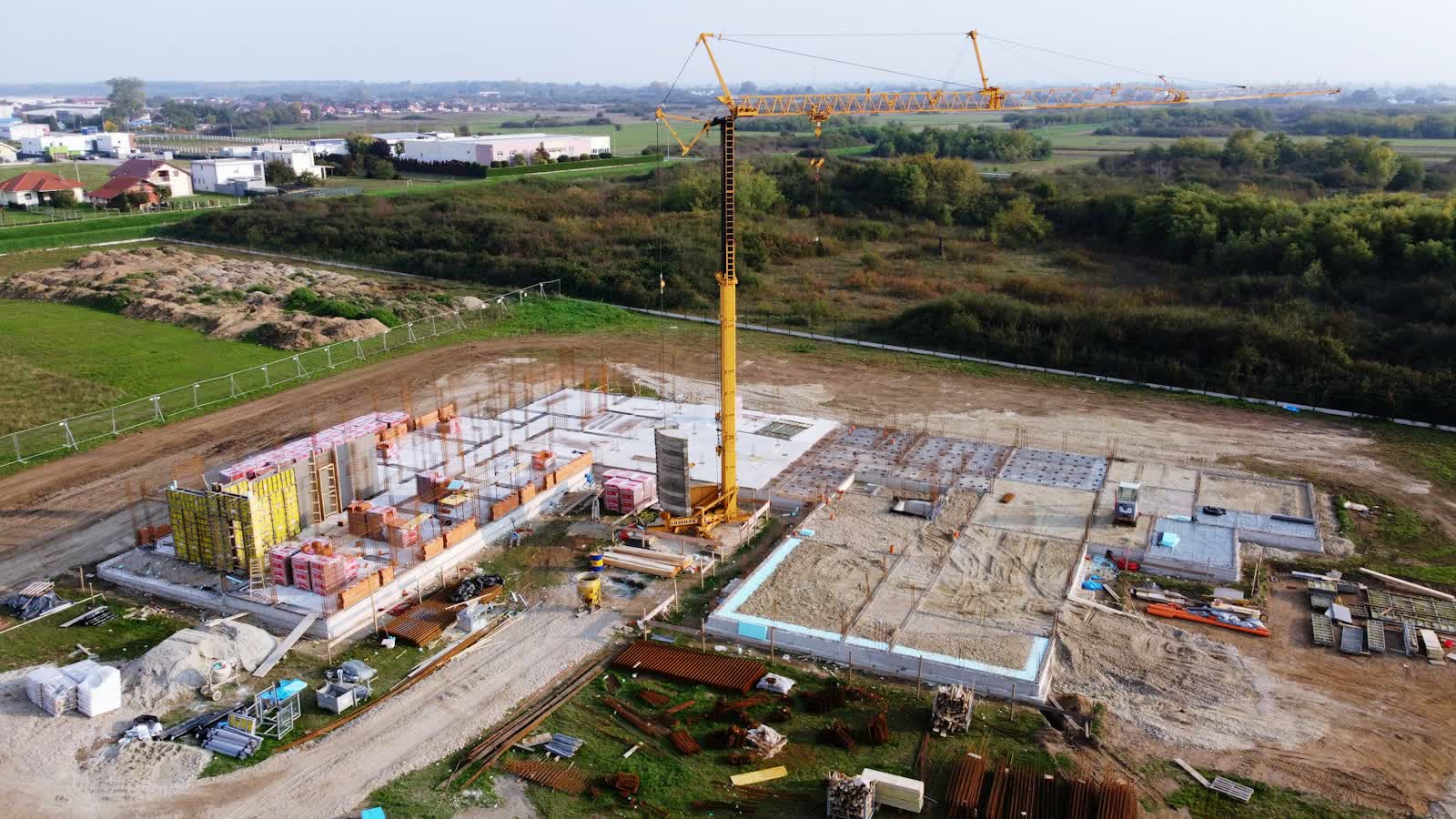
The method rests on a simple principle: define a fixed flight path at the very start of the site, then repeat it identically on every campaign — weekly, monthly, depending on the pace of works. Each flight produces a high-resolution orthophoto and a photogrammetric point cloud of the site as it stands that day, shot from the same angles as the previous campaign. Comparing successive models reveals what has really progressed — slabs poured, framing erected, facade closed — and what has fallen behind.
A study by Jacob-Loyola, Muñoz-La Rivera, Herrera and Atencio published in 2021 in Sensors formalised this approach: periodically recording a construction site's physical progress by drone and photogrammetry, then checking the resulting model against the scheduled progress in a 4D BIM environment, with a methodology tested on the construction of a reinforced-concrete residential building (see the study on Google Scholar). The principle: overlay the aerial "as-built" on the digital "as-planned" to visualise gaps, rather than discovering them in a meeting. For firms that already hold a BIM model, the integration naturally extends the work described in our building digital twin guide.
Who commissions this monitoring, and why
The VEFA developer is often the first to ask for this: funding calls to buyers are indexed to statutory progress thresholds, and a dated, objective record defuses disputes from impatient buyers. The lending bank follows the same logic on the financing side: releasing a bridge-loan tranche is conditional on verified progress, which the monitoring report establishes without sending an expert on site. The project manager and client use it to arbitrate delays between trades — who delivered on time, who fell behind — with evidence that is hard to dispute since it is dated and georeferenced.
On large sites, the monitoring also feeds communication: images for local residents, institutional investors, trade press at milestones (first stone, weathertight completion). Pairing this monitoring with flow counting or open-air materials stock management remains possible within the same campaign, at marginal cost. For general contractors managing several sites at once, the same recurring flight also becomes the simplest way to brief a remote client without a site visit.
Flying over an active site: the framework
A construction site is a zone of shifting risk: cranes rotating, lifting equipment, people on the ground. The flight is systematically coordinated with the site supervisor and the health-and-safety coordinator: a time slot outside crane activity where possible, all present teams informed, direct overflight of active work stations excluded. Since the site is almost always in a built-up area, the mission falls under professional scenarios with prior notification to the préfecture for populated-area flight — details in our populated-area notification guide.
The frequent proximity of a tower crane — a mobile obstacle not mapped in advance — calls for particular vigilance: the pilot keeps a horizontal and vertical safety margin and halts flight if the crane manoeuvres within its sector. The imagery also incidentally captures people at work: processing of published deliverables follows GDPR, as detailed in our GDPR and professional drones guide.
Prices observed in 2026
Ranges observed in 2026 (excl. VAT), for a typical building site:
- One-off campaign (orthophoto + point cloud, single visit): €500 to €1,000.
- Monthly subscription (recurring flights for the site's duration, comparative report each visit): €300 to €700 per month depending on site size, tapering with a long commitment.
- 4D BIM integration (overlay on the schedule, deviation alerts): +€200 to €500 per campaign depending on model complexity.
- Communication milestone (one-off image or video for press, investors or residents): €400 to €900.
A framework contract for the whole site duration markedly lowers the unit price compared with campaigns ordered one by one. Request a quote stating the site's expected duration, the desired frequency and whether a BIM model already exists.
Put it into practice
- Drone construction site monitoring: rates and cities covered from €250
- Construction site monitoring in Chambéry Auvergne-Rhône-Alpes
- Construction site monitoring in Cholet Pays de la Loire
- Construction site monitoring in Albi Occitanie