PROTECTED AREAS GUIDE · UPDATED OCTOBER 2026
Drone flights in French protected areas: Natura 2000, reserves, parks
New
For €39 VAT included (€32.50 excl. VAT): a guide to prepare a professional drone mission in a French protected natural area.
After payment
- The page after payment shows the link to your guide: you start reading right away.
- An email from C-DRONE (no-reply@tech-bharat.com) sends you this link again with your order details (amount, VAT, order number).
- Find my purchases gives you your links back at any time.
- No phone calls: nobody will ring you.
Guarantee: content as described, or your money back
For €110 more, the complete library: all 43 guides, this one included →
VAT included (€32.50 excl. VAT) · secure Stripe payment (card, Apple Pay, Google Pay) · terms of sale (in French)
What you get
- The online guide: 10 chapters, about 31 A4 pages, printable to PDF
- 7 ready-to-copy templates: permission request to a nature reserve manager · simplified Natura 2000 impact assessment form · letter to a national park director · mission note for a consultancy · anti-disturbance protocol · field sheet · report to the site manager · and 3 more
- Delivery: instant online access right after payment; Stripe invoice by email
- Preview: the whole first chapter, free, further down this page
10chapters
31printable A4 pages
7templates to copy
20checklist items
Checked at the source
Reviewed by industry professionals. Every rule links to its text.
273links to official texts across our guides
71automated checks before every release
October 2026latest revision of this guide
- Primary sources: Légifrance, EUR-Lex, Géoportail, DGAC.
- Every figure linked to its source, dated in the last chapter.
- Dated updates: you always read the latest version.
Who it is for
- Environmental consultancies, ecologists and site managers commissioning surveys, colony counts or mapping in protected areas in France
- Professional operators and remote pilots, French or foreign, working on the French coast, in the mountains, in wetlands or near a reserve
- Local authorities and infrastructure owners (dykes, power lines, mountain roads, ports) whose sites border a protected area
- Production companies and agencies planning a shoot in a French national park, a reserve or on Conservatoire du littoral land
In pictures
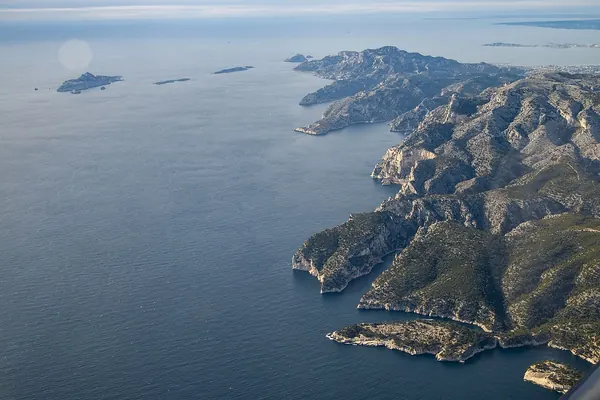

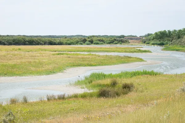

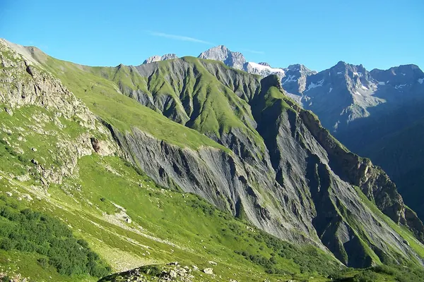

Illustrative photos, published by their authors under free licences.
Contents of the complete guide
- Untangling the statuses: what each protection can prohibit (free extract below)
- Natura 2000: when is an impact assessment required?
- Nature reserves: reading the classification decree
- National parks: core, buffer area and the director's permission
- Biotope orders and protected species: the rule that applies everywhere
- The coast: beaches, Conservatoire du littoral, the maritime domain
- Mountains: terrain, raptors, grouse and seasons
- The sensitivity calendar
- The decision tree by type of area
- Seven templates to copy
- Sources and dates consulted
Included: 20 checklist items and 10 decision or reference tables.
Introduction
A drone mission in a French natural area rarely fails because of the aeronautical chart. It fails because nobody read the text that protects the site: the decree of the reserve prohibited overflight below a given height, the regulations of the national park core required the director's permission, a biotope protection order closed the cliff during the breeding season, or a municipal order covering Conservatoire du littoral land banned drones. The remote pilot is fined, the client loses the date, and the relationship with the site manager is damaged for future missions.
This guide is written to prevent that. It is for the operator who prepares the mission and for the client who commissions it: environmental consultancy, local authority, infrastructure owner, production company. It explains, status by status, what the text can and cannot prohibit, when a Natura 2000 impact assessment is required, who grants permission and how long it takes, then when to fly so as not to disturb wildlife. It ends with a decision tree by type of area, a sensitivity calendar and seven ready-to-copy templates: permission request to a site manager, simplified Natura 2000 impact assessment form, letter to a national park director, mission note for a consultancy, anti-disturbance protocol, field sheet and report to the site manager.
The guide is up to date as of 30 October 2026. Each rule is linked to its text, and the articles cited were checked on that date on Légifrance, the official French legal database. French terms are kept where you will meet them in documents and correspondence (réserve naturelle, cœur de parc, arrêté, DDT). Every reserve, park or biotope order has its own text: this guide teaches you to read it and ask the right questions; it does not replace it.
Untangling the statuses: what each protection can prohibit
The principle that changes everything
The French Environment Code does not give every protection the same power over the sky. Only two statuses can regulate or prohibit overflight as such:
- the core of a national park (cœur de parc national): Article L331-4-1 allows the park regulations and charter to subject to special rules, and where appropriate prohibit, "overflight of the park core at a height of less than 1,000 metres above the ground";
- the national nature reserve (réserve naturelle nationale): Article L332-3 allows the classification act to regulate or prohibit overflight, but that power is reserved for national reserves.
The other statuses work differently: by prohibiting take-off and landing on the land, by restricting access, by prohibiting the disturbance of species, through the impact assessment of a project or through the mayor's police powers. The result on the ground may be the same (no flight), but the legal basis, the contact and the penalty change. That is why the exact status must be identified before asking for anything.
The status table
| Status | Basic text | What the text can prohibit | Who grants permission or advises | Reference penalty |
|---|---|---|---|---|
| National park core | L331-4-1, park decree, director's orders | Overflight below 1,000 m above ground, photography and filming, movement | Director of the park authority | Class 5 petty offence (R331-68) |
| National park buffer area (aire d'adhésion) | Park charter | No specific overflight rules | No park permission; other statuses to check | Depends on the overlapping status |
| National nature reserve | L332-3, classification decree | Overflight, access, activities, filming, depending on the decree | Prefect or site manager, depending on the decree | Class 5 for regulated activities (R332-74), class 4 for disturbing animals (R332-71) |
| Regional nature reserve | L332-3, regional council decision | Access, movement, activities, disturbance; not overflight as such | Site manager, regional council, depending on the act | Same Articles R332-71 et seq. |
| Natura 2000 site | L414-4, site management plan (DOCOB) | Nothing in general; an activity may require an impact assessment | State department services (DDT or DDTM), site coordinator | Offence if a required assessment is refused (L414-5-1) |
| Biotope protection order (APPB) | R411-15 to R411-17, prefectoral order | Activities harming the biotope, often for a period | Prefect (DDT or DDTM) | Class 4 petty offence (R415-1, 3°) |
| Conservatoire du littoral land | L322-1 et seq., rules set by municipal order | Take-off, landing, drones, access, depending on the order | Site manager and the Conservatoire | Depends on the order |
| Regional nature park (PNR) | L333-1, charter without general regulatory force | Nothing through the charter; the reserves and orders it contains | Park body, for advice | Depends on the overlapping status |
| Everywhere | L411-1 | Intentional disturbance of protected animal species | Not applicable: a rule of conduct | Class 4 (R415-1, 1°); L415-3 offence for harm to conservation |
One valley, four statuses
Statuses overlap. A coastal cliff can be at the same time in a Natura 2000 site designated under the Birds Directive, in a national nature reserve, on Conservatoire du littoral land and under a seasonal biotope protection order. The applicable rule is then the strictest of all, and each manager must be told what concerns them.
The method is always the same:
- Draw the mission footprint, including take-off area and flight area, with a margin.
- Overlay the protected area layers on Géoportail, the French national mapping portal, and read the record of each area on the INPN (national inventory of natural heritage).
- For each status found, open the text: decree or decision of the reserve, park regulations, biotope order, municipal order for Conservatoire land.
- For each text, note what is prohibited, during which period, and who can grant permission.
What the drone map does not show
The "UAS restrictions" layer on Géoportail is the reference for flight height in the open category. It includes some environmental restrictions, but not all of them: a regional reserve, a seasonal biotope order or a municipal order on Conservatoire land are not always shown. A blank area on the drone map is therefore never a permission in a natural area. Conversely, a height shown on the map says nothing about the prohibition on disturbing a colony nesting under the flight path.
Why managers are cautious: what research measures
Drone disturbance can be measured. A CNRS team (Elisabeth Vas, Amélie Lescroël, Olivier Duriez, Guillaume Boguszewski and David Grémillet) published in 2015 in Biology Letters a first series of experiments on waterbirds (DOI 10.1098/rsbl.2014.0754): over 204 approach flights with a quadcopter, birds did not react in 80% of cases down to 4 m, the drone's speed and colour had no measurable effect, but vertical approaches triggered more reactions. The authors recommend launching more than 100 m from the birds and adjusting the approach distance to the species.
The systematic review by Margarita Mulero-Pázmány and co-authors, published in 2017 in PLOS ONE (DOI 10.1371/journal.pone.0178448), brought together 36 publications and 17 unpublished field campaigns. The strongest reactions came from flight paths directed at the animals, from larger drones and from noisier fuel engines; birds were more sensitive than other groups. The review also found more visible reactions outside the breeding period and in large groups: a sitting bird that does not flee is therefore not proof that it is undisturbed.
These results explain the conditions managers set: launching at a distance, transiting at height, regular flight lines with no head-on approach or vertical descent, and stopping at the first sign of reaction. They are built into the anti-disturbance protocol in template 5.
How it works
- You pay on StripeBy card, Apple Pay or Google Pay, in one go, on the checkout page hosted by Stripe: your card details never go through our servers.
- You read it right awayRight after payment, you land on the complete guide's page. Bookmark it or print it to PDF; the link and the invoice are emailed to you, and everything stays findable with “Find my purchases”, at the bottom of every page.
- Guaranteed contentAs described, or your money back: email devis@c-drone.fr and we restore access or refund you (terms of sale, in French).
Frequently asked questions
What does “Drone flights in French protected areas: Natura 2000, nature reserves, national parks, coast and mountains” contain and how much is it?
For €39 VAT included (€32.50 excl. VAT), you get drone flights in French protected areas: Natura 2000, nature reserves, national parks, coast and mountains: 10 chapters online, about 31 printable A4 pages and 7 ready-to-copy templates, to prepare a professional drone mission in a French protected natural area: identify every status that overlaps on the site (Natura 2000, national or regional nature reserve, core and buffer area of a national park, biotope protection order, Conservatoire du littoral land), know what each text can prohibit, when a Natura 2000 impact assessment is required, whom to ask for permission, when to fly and how to avoid disturbing protected species.
How do I receive the guide?
Right after payment you are redirected to the complete guide's page. Bookmark it, or print it to PDF (Ctrl+P or Cmd+P, “Save as PDF”). Stripe also emails you the receipt.
Do I get an invoice?
Yes: Stripe generates the invoice and emails it. You can enter your company name and VAT number at checkout. Seller: Lacangel Group (VAT FR21995268018); prices VAT included.
Is the guide kept up to date?
Yes. The guide's page is updated when the rules change; your access stays valid and you always read the latest version.
Which texts is the guide based on?
On the official texts in force (EU regulations, French decrees and codes), cited and dated with their links: you can check every rule at its source, which is authoritative. C-DRONE is an independent publisher.
Which device can I read it on?
Computer, tablet or phone: it is a web page, with no app or account to create. Print it to PDF to archive it or share it within your team.
What guarantee do I get?
The content matches its description, or you get your money back: email devis@c-drone.fr and we restore access or refund you (terms of sale, in French). This also applies to business purchases.
Other guides
New Drone light show guide
Organising a drone light show in France: budget, permits, contract
Town, company or wedding: check whether your project works, file the prefecture application on time, compare quotes, sign a contract that deals with the weather and run the night itself
€29 incl. VAT · €24.17 excl. VAT · 11 chapters · instant access
New CATS exam prep
Passing the French CATS drone exam: course and 104 practice questions
The eight subjects of the official DGAC syllabus summarised, 64 answered and explained questions, a 40-question mock exam and a four-week revision plan, with the French terms you will meet
€24 incl. VAT · €20.00 excl. VAT · 11 chapters · instant access
New Thermography guide
Drone thermography in France: commission, check and use the report
Roofs, facades, flat roofs, solar PV: choose the right measurement window, write the specification, check the flight conditions, read the report in fifteen minutes and turn it into repair decisions
€29 incl. VAT · €24.17 excl. VAT · 11 chapters · instant access
Free articles on the topic
- Drones in Natura 2000 sites and French nature reserves: what a professional may do
- Flying a drone in a French national park core for a professional mission: authorisation, application, timeline
- Seabird colonies and drones: surveying a nesting colony without disturbing it, method and price
- Wildlife counting by drone: method, regulatory framework and price
- Environmental impact studies (wind, solar): the drone's role in wildlife and flora surveys, price
- Protected species on facades: surveying nests by drone before renovation or demolition, price
Instant access to your guide after payment · terms of sale (in French). Questions before buying: devis@c-drone.fr.