A professional drone pilot for this mission Request a free quote
C-DRONE GUIDE · 4 AUGUST 2026
Air quality and dust monitoring by drone on construction and industrial sites in France
Residents calling the town hall after a dust spike, a demolition site ordered to prove its watering measures, a quarry required to document its dust fallout: dust and fine particles have become a recurring complaint around construction and industrial sites, and a subject operators are better off documenting before it turns into a dispute. Fixed monitoring stations, expensive and site-specific, cover only one point. A drone, by contrast, maps an entire footprint in minutes and can carry a particle sensor to pinpoint a source precisely. Here is what it adds, what it does not replace, and the legal frame to know.
Published on 4 August 2026, updated on 22 September 2026 — regulations in force as of September 2026.
What a drone adds to air quality measurement
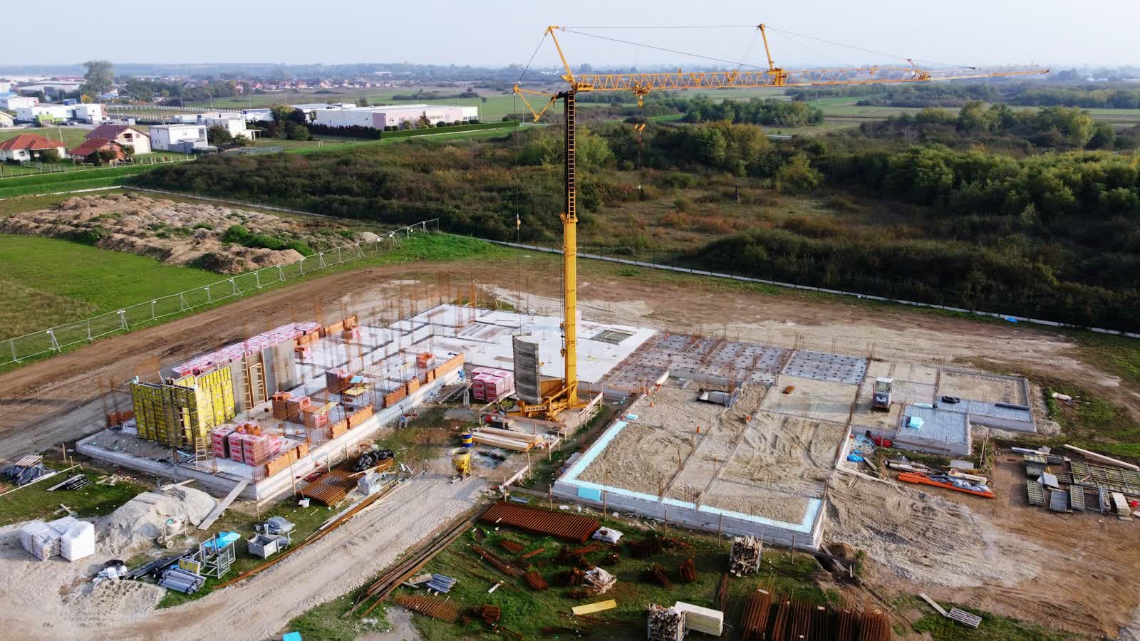
A fixed monitoring station gives a reliable value, but only at one point: it says nothing about what happens fifty metres away, by the haul road or the stockpile reclaim area. A drone flips that logic: it does not match the precision of a standardised fixed point, but it sweeps the space — transects at different heights over a site, repeated passes along a fence line — to reveal where the plume actually concentrates and how it shifts with the wind. Paired with an ordinary visual camera, it also documents, with a timestamp and coordinates, the dust-generating activity underway at the time of measurement: a bucket unloading, a truck on an unpaved track, a crusher running.
The scientific literature backs this mobile approach: a 2016 review by Tommaso Villa and coauthors in Sensors catalogues small-drone applications for air quality measurement and highlights their ability to fill the blind spots of fixed-station networks, particularly for three-dimensional mapping of a plume. A more recent 2020 study by Tonghua Wang and coauthors, in the same journal, describes a drone-borne particle sensor system calibrated against a reference station: PM2.5 and PM10 concentrations measured by both systems proved strongly correlated, with an average discrepancy of around 6% (see the study).
The legal frame: two distinct logics
French law addresses dust from two angles that should not be conflated. On the worker-protection side, the labour code (article R. 4222-10 and following) sets occupational exposure limits for total and respirable dust over an eight-hour period; the employer must assess the risk in the mandatory risk document and provide respiratory protection if collective measures are not enough — this duty applies to any site, classified or not.
On the external emissions side, only certain installations classified for environmental protection (ICPE) are subject to regulatory monitoring of dust fallout: this is notably the case for quarries producing more than 150,000 t/year and for crushing-screening plants, which must periodically measure deposits using standardised gauges (the "Owen gauge" method, standard NF X43-014). Non-classified installations and ordinary construction sites face no regulatory external-emission threshold at all — but they remain exposed to civil liability for neighbourhood nuisance and, occasionally, to prefectural or municipal orders requiring watering and sheeting.
A drone replaces none of these standardised methods: ground gauges remain the reference evidence for an ICPE inspection. It comes as a complement — mapping the zone of influence, dated visual proof in case of a complaint, tracking how effective corrective measures are — a role close to that of our guide to methane leak detection by drone for gas emissions, following the same logic of fast spotting ahead of a targeted human response.
Three typical missions
In practice, three situations come up most often:
- Responding to a neighbour complaint: a quick flight after a report maps the visible extent of the plume and its likely source, with timestamped shots usable in a reply to the town hall or the préfecture.
- Periodic complement on a quarry or an ICPE platform: alongside the regulatory gauges, a monthly or quarterly pass maps the whole site — haul roads, working faces, stockpiles — and flags areas where deposits build up away from the fixed measurement points; this tracking fits naturally alongside the quarry stockpile volume missions already run on these sites.
- Checking that corrective measures work: before/after passes once automatic watering, stockpile sheeting or a mist cannon is installed, to give an objective read on the improvement — useful in particular on a demolition or earthworks site facing watchful neighbours.
In all three cases the drone works clear of areas where machinery is moving: the contractor plans the flight with the operator to avoid any interference with site activity.
2026 prices and how to budget
Orders of magnitude observed in France in 2026 (excl. VAT):
- One-off mapping flight (responding to a complaint, a single pass, photo report): €300 to €600.
- Pass with an onboard particle sensor (indicative concentration mapping, cartographic output): €600 to €1,200 depending on site size.
- Periodic tracking (monthly or quarterly, alongside a quarry's or an ICPE site's regulatory gauges): quoted case by case, typically tapering under an annual package.
The onboard sensor gives an indicative reading, useful for relative mapping and tracking over time — it does not replace a regulatory inspection by a standardised method where one is required. This service draws on our security and surveillance drone offer: request a quote stating the site, the nature of the activity and the reason for monitoring (complaint, ICPE duty, internal quality control).
Put it into practice
- Drone construction site monitoring: rates and cities covered from €250
- Drone security & surveillance: rates and cities covered from €600
- Construction site monitoring in Châlons-en-Champagne Grand Est
- Construction site monitoring in Thionville Grand Est
- Construction site monitoring in Agen Nouvelle-Aquitaine