A professional drone pilot for this mission Request a free quote
C-DRONE GUIDE · 5 AUGUST 2026
Monitoring an onshore wind farm construction by drone: foundations, erection, as-built records, prices
A wind farm construction site is like no other: five to fifteen work fronts several hundred metres apart, linked by new tracks, with very different phases — earthworks, massive civil engineering, buried networks, then spectacular erection timed to wind windows. The developer follows it all from afar, the turbine supplier and civil contractors each push their own front, and the banks expect dated progress reports. The drone is the obvious synthesis tool: in one flight, every work front is photographed, measured, compared against the schedule. And some images — a foundation's rebar the day before pouring — will be worth gold ten years later if a dispute arises.
Published on 5 August 2026, updated on 22 September 2026 — regulations in force as of September 2026.
Tracks, crane pads, foundations: documenting what will be buried
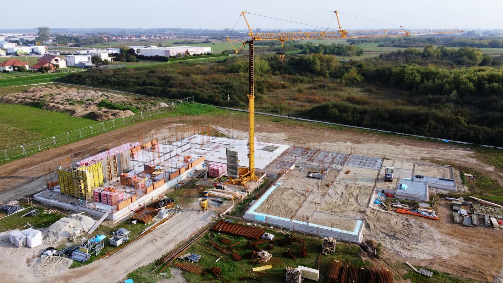
The first half of the project is earthworks and civil engineering — and almost all of it ends up invisible. Tracks and crane pads: their volumes are tracked by photogrammetry at each visit, as on a development zone, and the orthophoto checks clearances and turning radii planned for abnormal load convoys. Foundations: several hundred cubic metres of concrete each, poured onto rebar whose condition the day before pouring deserves complete photographic documentation — if defects appear later, those dated images settle liability. Inter-turbine cabling: kilometres of trenches whose as-built survey before backfilling spares the operator years of guesswork and approximate utility searches.
The method — periodic drone surveys compared against the schedule — is the one validated by Nicolás Jacob-Loyola and colleagues in Sensors in 2021 for physical progress monitoring of construction: regular, standardised photogrammetric deliverables that objectify progress and improve communication between parties (see the study). On a site split across ten fronts, that standardisation counts double.
Erection: time-lapse, coordination, communication
The cranes' arrival changes the site's nature — and the drone's role with it. Technically: photographing components on delivery (stored blades, flanges, tower sections) documents their condition before erection, a real issue for blades whose transport damage too often surfaces in operation. For project control: weekly overview shots show each position's state at a glance — foundation, partial tower, nacelle set, full rotor — and feed the lenders' report. For communications: a turbine lift is one of the energy transition's strongest images; the time-lapse and lifting film serve the developer's local engagement as much as its corporate communications — see our aerial video offer.
One constraint specific to erection: aerial coordination. Cranes above 100 m, occasional helicopters, and the absolute ban on overflying lifting crews demand a tight flight plan agreed with the site manager — the drone works offset, never directly above operations. It is a matter of preparation, not improvisation.
After commissioning: blade acceptance and what follows
Once construction ends, the drone remains the farm's reference tool. Blade acceptance inspection, before the manufacturer's warranty expires, photographs both faces of every blade from a few metres: paint defects, leading-edge cracks, impacts — our guide to wind turbine drone inspection details method and rates. Periodic monitoring then takes over (annual or after events — lightning, storms), and due diligence inspection is standard at every change of ownership.
Finally, the site's end state — retained tracks, reduced pads, fields returned to farming — deserves a reference orthophoto: it will serve as the baseline for end-of-operation restoration obligations, exactly as on extractive sites. A few hours of flying freeze a state nobody will be able to reconstruct twenty years later.
2026 prices
Orders of magnitude observed in France in 2026 (excl. VAT), for a farm of five to ten machines:
- Initial condition survey (orthophoto of site and access routes, terrain model): €1,500 to €3,000.
- Monthly monitoring visit (all fronts, orthophoto, report): €900 to €1,800 depending on farm extent and requested volumes.
- Foundation documentation (rebar before pouring, on call): €400 to €800 per position when folded into the round, more as a dedicated visit.
- Erection film / lifting time-lapse: €1,200 to €2,500 per lifting campaign, poolable with a technical visit.
Flying over open countryside is regulatorily simple; it is site coordination and recurrence that structure the price. Request a quote stating the number of positions, the provisional schedule and the expected deliverables (lender reports, as-built records, communications): the set-up is sized front by front.
Put it into practice
- Drone construction site monitoring: rates and cities covered from €250
- Construction site monitoring in Bourges Centre-Val de Loire
- Construction site monitoring in Fréjus Provence-Alpes-Côte d'Azur
- Construction site monitoring in Saint-Quentin Hauts-de-France