A professional drone pilot for this mission Request a free quote
C-DRONE GUIDE · 21 AUGUST 2026
Drone for property developers: marketing a new-build programme sold off-plan
Selling a home that only exists on paper remains the hardest exercise in property marketing : no viewing is possible, only a scale model, 3D renders and the sales agent's word. A drone fills part of that gap by showing what neither the plan nor the render can — the development's real position within its neighbourhood, the site's progress month after month, and, at handover, an aerial view and an immersive tour of the finished building. For a developer, it is a tool that runs through the whole sales campaign, from the off-plan reservation through to the handover of the keys.
Published on 21 August 2026, updated on 22 September 2026 — regulations in force as of September 2026.
A drone, a sales argument before the development even exists
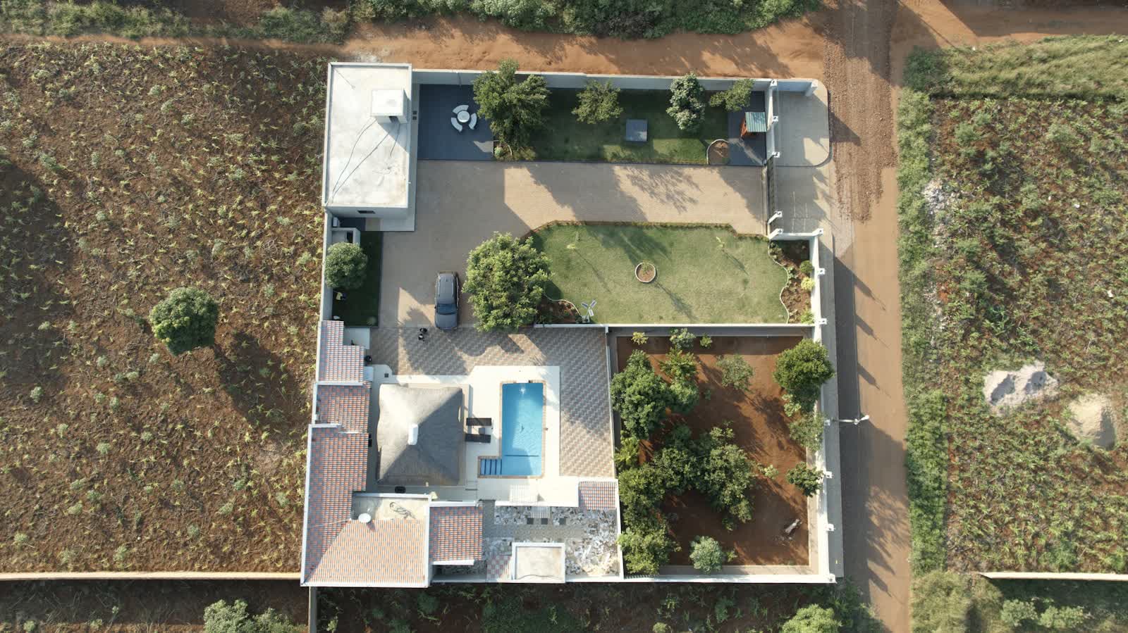
An off-plan sale (VEFA in France) relies on materials that are abstract by nature : a site plan, the architect's 3D renders, a sales brochure. A flight over the plot, even before the first spade goes into the ground, shows what those materials cannot — the development's real position within the urban fabric, the actual proximity of a station, a park or shops, how the future facades will be oriented relative to the sun or to a source of noise. Shared on the development's website, at the sales office or in an aerial video campaign, this footage turns an abstract selling point ("5 minutes from the station") into a verifiable image.
The effect of visuals on property sales is documented beyond sales intuition : a study by Justin Benefield, Christopher Cain and Ken Johnson, published in 2011 in the Journal of Real Estate Finance and Economics and based on multiple listing service listings, shows that the number of photographs attached to a property has a positive, measurable effect on its sale price (see the study). The finding covers existing resale properties, but the underlying logic — that abundant, high-quality visuals weigh on the buying decision — applies just as much to a new-build programme, where the aerial image is often the only material that gives the project a real sense of scale.
Construction monitoring: reassuring buyers through to handover
Between signing the reservation contract and handover, an off-plan buyer often has no way to check that the site is progressing on the announced schedule. A monthly or bimonthly drone construction monitoring service, shot from the same vantage point each time, addresses that concern directly : the images, shared by email or through the development's client portal, concretely document progress — earthworks, structural works, watertightness, fit-out. The same set of images also serves as dated evidence should a dispute arise over a delayed handover, a use covered in our guides on drone construction monitoring and drone construction timelapse, which compiles the passes into a sped-up video usable for both communication and site meetings.
As handover approaches, an aerial shot of the finished outdoor areas — roads, green spaces, parking — lets the developer market the programme's last remaining units with a near-real visual rather than a render, a clear advantage at the end of a programme, when remaining buyers are often weighing up several comparable properties.
Regulatory framework for a drone mission on a new-build development
The mission falls under the same framework as any professional flight over an inhabited area : written agreement from the project owner (developer or land developer), flight in sub-category A2 or A3 depending on whether uninvolved people are nearby — an active construction site, with workers on the ground, calls for stricter rules than bare land. In built-up areas, professional open-category flight above public space has been allowed since 1 January 2026 (order of 23 December 2025), by day and without deliberately overflying uninvolved people, but every pass still requires a prior declaration to the préfecture (cerfa 15476*04) with ten working days' notice — a point to plan into the schedule of periodic passes rather than handle at the last minute.
Two points deserve particular care on a property development : the image rights of neighbours and nearby properties, who must not be recognisable in commercial visuals — a topic covered in our guide on drone image rights and publication — and GDPR compliance where people (workers, sales-office visitors) appear in the images, covered in our guide on GDPR and professional drones. As with any mission over an urban area, the pilot checks restricted or prohibited zones beforehand on the Géoportail drone map, especially near an aerodrome.
The price of a drone mission for a property developer in 2026
The price depends on the size of the programme, how often the drone flies, and the deliverables requested. Orders of magnitude observed in France in 2026 :
| Service | Observed price (excl. VAT) |
|---|---|
| Launch campaign shoot (photos + short video of the plot and its surroundings) | €600 to €1,200 |
| Construction monitoring pass (photo + short video, same vantage point) | €250 to €500 per pass |
| Periodic monitoring package for the whole build (8 to 15 passes) | €2,000 to €5,000 |
| Handover shoot (photo, video, immersive FPV tour of the common areas) | €1,000 to €2,500 |
A photogrammetric digital twin of the finished development, useful to the sales team and later to the managing agent, is an option on quote. To scope a mission, the simplest step is to request a quote stating the number of units, the planned build duration and the desired frequency of passes.
Frequently asked questions about drones for a new-build development
Can a drone replace the architect's 3D renders? No, the two are complementary : the render projects a building that does not exist yet, while the drone documents what actually exists — the plot, its surroundings, then the site's progress. Many developers use the initial flight to calibrate the renders against the real site.
Who grants permission to fly : the developer or the landowner? Before the conditions precedent are lifted, it is the current landowner who authorises the flight ; once the deed is signed, the developer or land developer's agreement is enough. On an active site, the main contractor also needs to be informed for safety coordination.
Does drone construction monitoring hold any value in a dispute over delays? Dated images are a useful piece of evidence, on a par with a site report, but they do not replace a bailiff's official record or an expert assessment in formal litigation — they support the file rather than substitute for it.
Is drone footage worth it for a small programme of just a few units? Yes — the size of the programme matters less than the difficulty of viewing it before completion : a study by Kelley Cours Anderson, Julia Freybote and Kimberly T. Manis, published in 2022 in the Journal of Real Estate Finance and Economics, shows that virtual tours are most effective for properties that are hard to view in person — exactly the situation of a home still under construction (see the study). For these smaller programmes, a simple launch shoot and a handover pass are often enough, without needing the full periodic package.
Put it into practice
- Drone real estate drone services: rates and cities covered from €250
- Real estate drone services in Tarbes Occitanie
- Real estate drone services in Annemasse Auvergne-Rhône-Alpes
- Real estate drone services in Aurillac Auvergne-Rhône-Alpes