Drones in construction: structure, roof, facade and site inspection
Buy — €15 Contents and free extract
VAT included · secure Stripe payment · instant access: by paying you request immediate access to the digital content and acknowledge you lose your right to cancel.
C-DRONE GUIDE · 1 AUGUST 2026
Drone risk-prevention survey for property insurance: roof, surroundings, price
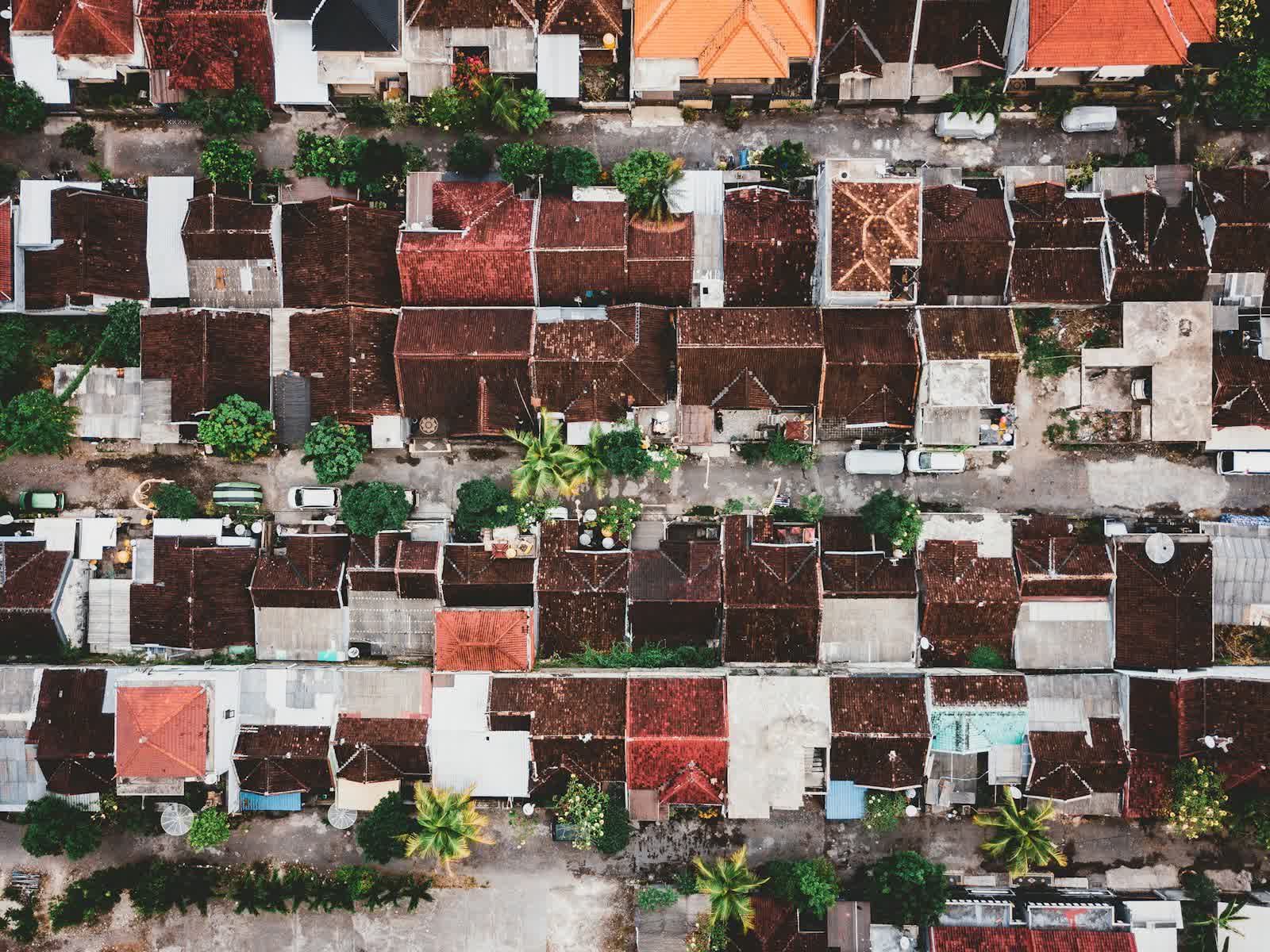
Before covering an industrial building, a warehouse or a shopping centre, an insurer or its broker wants to know its real condition — not just what the technical file says. This risk-control visit, long carried out on foot between buildings, gutter by gutter, is increasingly done by drone: the roof, surroundings and storage areas are photographed in an hour, dated and comparable from one year to the next. Here is what this kind of mission documents, its exact place in the underwriting file, and prices observed in 2026.
Published on 1 August 2026, updated on 22 September 2026 — regulations in force as of September 2026.
From the traditional risk-control visit to the drone flight
Before covering a professional building — warehouse, industrial site, retail unit, office block —, an insurer or its broker often carries out a risk-control survey (or "risk engineering visit"): a condition assessment that feeds into pricing, contract terms and, sometimes, a list of recommendations to implement to keep cover in force. This visit is repeated at underwriting, at renewal, after a nearby claim, or after a change of use on the site. It traditionally covers what a prevention engineer can observe from the ground: the visible condition of the roof edge, clutter around the buildings, distances between structures, accessibility for emergency services.
The problem is the same as for any roof inspection: most of the risk — a cracked membrane, blocked outlets, technical equipment at end of life — sits precisely where the engineer does not climb, for lack of time or safe access on a large site. The drone closes that gap without changing the nature of the visit: it stays a human assessment, but one built on images that cover the whole building, taken from the angles that matter.
What a flight documents for the risk file
On the roof: type and apparent age of the covering, a cracked or blistered waterproofing membrane, visible thermal bridges, gutters and outlets clogged — the leading cause of water damage on flat roofs —, anchors for technical equipment, the condition of smoke-vent hatches. On the surroundings and storage: actual distances between buildings and between storage areas, accessibility of fire-service routes, combustible-material storage or open-air pallets, vegetation touching façades. On visible equipment: HV substations, air-conditioning units, photovoltaic panels already installed — each carrying its own share of fire or water-damage risk.
The value of an automated reading of these images is starting to be documented: a study by Alzarrad, Awolusi, Hatamleh and Terreno published in 2022 in Frontiers in Built Environment trained an artificial-intelligence model to automatically classify roof condition from drone-captured images — missing shingles, surface degradation — with the explicit aim of helping insurance companies and real-estate agents make a more objective decision (see the study). The principle holds even without on-board AI: systematic, dated, geo-referenced photos already cut down the share of rough judgement in the risk report.
One piece of the file, not a verdict on the premium
The drone report sets nothing on its own: it is the prevention engineer or the risk manager who reads the images, cross-checks them against drawings, claims history and any prior recommendations, and forms a risk assessment from that. On a structural point or a doubtful non-conformity, human expertise — or a further structural or electrical survey — remains the only decisive word. What the drone brings is what a ground-level eye cannot guarantee: complete coverage and comparability from one campaign to the next, on the same shots.
This documentary logic matters especially for multi-site groups — logistics property funds, retail chains, industrial groups with several locations: the same flight protocol repeated at every site produces a consistent baseline, useful to the broker for negotiating and to the insurer for tracking how the portfolio evolves. It naturally overlaps other missions we detail elsewhere: a crack survey for a drought-subsidence claim file, a post-fire survey, or the thermal audit tied to the French tertiary decree for buildings subject to it. For a logistics warehouse or a shopping centre, the risk visit is often bundled with a full roof inspection, on the same mobilisation.
Prices observed in 2026
Ranges observed in 2026 (excl. VAT):
- Risk survey of a single site (roof, surroundings, storage, structured photo report): €500 to €1,200.
- Extended industrial or logistics site (several buildings, overall orthophoto): €1,200 to €2,800.
- Multi-site portfolio campaign (identical protocol repeated per location): tapering per-site rate, on quotation.
- Compared annual follow-up (renewal, same shots): €300 to €700 per site and per pass.
Who commissions the mission varies: the insurer or its broker directly, or the policyholder itself ahead of a renewal to present a favourable file. Our roof inspection drone page details the associated service; request a quote stating the type of site, its area and the purpose of the visit (underwriting, renewal, recommendation follow-up).
Frequently asked questions
Does the drone report replace the prevention engineer's visit?
No: it supports it. The exhaustive, dated images let the engineer prepare the visit, complete it remotely on the areas already covered, and focus their time on points that need human judgement — structure, electrical compliance, hazardous materials.
Who pays for the drone risk survey — the insurer or the policyholder?
Both happen. The insurer or broker can commission it and fold it into risk-management costs; the policyholder can also commission it directly ahead of a renewal, to present a documented file and discuss terms from factual evidence rather than a plain declarative questionnaire.
Put it into practice
- Drone roof inspection: rates and cities covered from €200
- Roof inspection in Poitiers Nouvelle-Aquitaine
- Roof inspection in Béziers Occitanie
- Roof inspection in Cannes Provence-Alpes-Côte d'Azur