A professional drone pilot for this mission Request a free quote
C-DRONE GUIDE · 3 AUGUST 2026
Drone for commercial real estate: business premises, warehouses, land — method and price
Commercial property does not sell like a house. What decides an investor or an occupier is scale, access and surroundings: footprint, loading docks and manoeuvring yards, proximity to a motorway junction, land reserve, roof condition. All things a ground photo shows poorly and an aerial view shows at once. For an agency, a developer or a property fund, the drone produces both the marketing visuals and a first technical read of the asset. Here is what it adds on business premises, warehouses and land, and the going prices.
Published on 3 August 2026, updated on 22 September 2026 — regulations in force as of September 2026.
Selling scale and surroundings
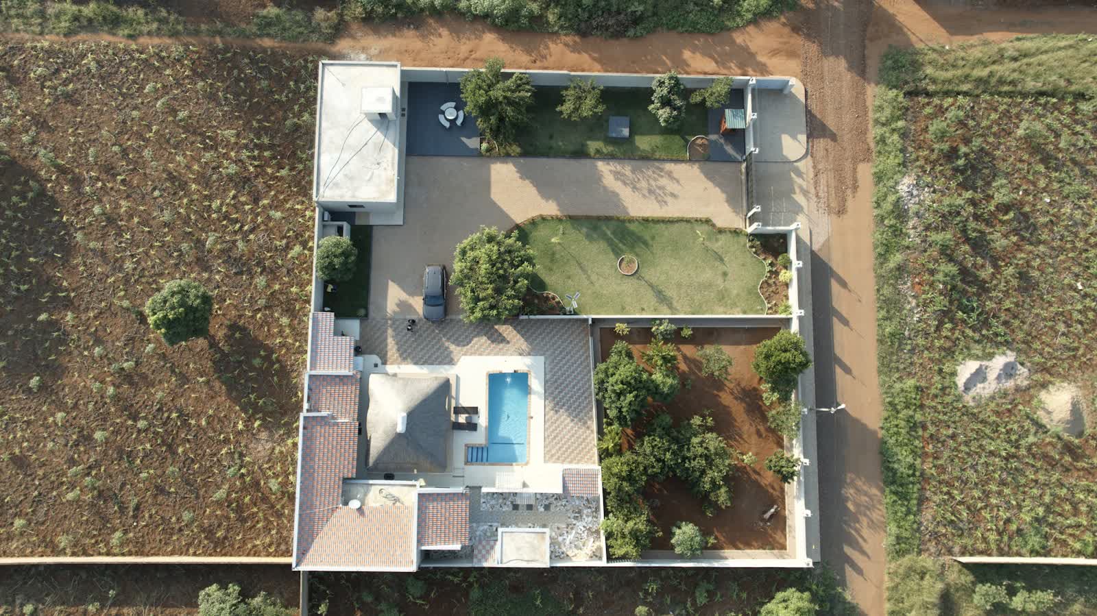
An 8,000 m² warehouse is unreadable from the car park: the aerial view restores the footprint, the number of docks, the yard depth, the room to extend. For land, it shows the plot's real shape, its access, its servicing and its setting — far better than a cadastral plan. That is exactly what weighs in a siting decision, and what a listing must lead with.
The effect of visuals on marketing is documented: a study published in The Journal of Real Estate Finance and Economics analysing a listing service showed that the number and nature of photographs influence a property's price and time-on-market. On assets where scale and surroundings are decisive, the aerial view supplies precisely the visual information missing at ground level. Our craft guide drone in real estate: what sells details the codes of a converting visual.
Two deliverables in one flight: marketing and technical
The same pass serves two uses. For marketing: overview photos and video, an annotated location plan (access, docks, parking, land reserve), a photomontage for a scheme to be built. For the technical side: apparent roof condition (a major cost item on a warehouse), presence of moss, waterproofing detail points, canopies and surfaces available for solar. A savvy buyer increasingly asks for this dual read before making a move.
For a deeper acquisition audit, the flight ties in with the roof inspection of a logistics or retail building and, for a group of buildings, with the photomontage for a building permit where an extension is planned. The drone thus becomes a due-diligence tool, not just a marketing one.
The framework: overflying an occupied site and a business park
Most commercial assets sit in business parks or on the urban fringe: flying there is often simpler than in a town centre, but the usual rules still apply — no overflight of third parties, managing on-site staff and hauliers, and respecting neighbouring sites. On an operating site, framing must show the asset without disclosing an occupier's sensitive information (stock, processes). In an aeronautical zone near an aerodrome, regulatory preparation is required.
For a marketing mandate, the ideal is a slot with the yard clear and flattering light (morning or late afternoon). A professional provider handles insurance, permissions and the transfer of image usage rights to the agency — a point to settle at the quote stage.
Deliverables and 2026 prices
Typical deliverable: a set of retouched aerial photos, a short video, an annotated location plan and, on request, the technical component (roof condition, PV-ready surfaces). Orders of magnitude in 2026 (excl. VAT):
- Aerial shoot for a mandate (photos + annotated plan): €300 to €700.
- Full marketing pack (photos, video, photomontage, technical component): €700 to €1,800.
- Property portfolio (fund, several sites): on quote, tapering per-site rate.
The service sits within our drone real estate offer; request a quote stating the asset type (premises, warehouse, land), its area and the intended use (listing, brochure, acquisition file).
Put it into practice
- Drone real estate drone services: rates and cities covered from €250
- Real estate drone services in Châlons-en-Champagne Grand Est
- Real estate drone services in Thionville Grand Est
- Real estate drone services in Agen Nouvelle-Aquitaine