A professional drone pilot for this mission Request a free quote
C-DRONE GUIDE · 29 AUGUST 2026
Drone and Deep Geothermal Energy: Drilling Sites, Heat Networks and Induced Seismicity
Long defined by the 54 heat networks drawing on the Dogger aquifer beneath the Paris region, deep geothermal energy is regaining a central role in decarbonising urban heating: ADEME's Fonds Chaleur, funded at €800 million in 2026, has made its development a priority, with five new heat networks commissioned in Île-de-France this year for 72,000 additional households, and a geothermal doublet under construction in Bordeaux. Yet the sector remains marked by the earthquakes triggered in 2020 by drilling at Vendenheim, near Strasbourg, which led to the suspension of three projects in Alsace. Between the drilling site, the operating network and ground monitoring, here is what a drone genuinely brings to deep geothermal energy — and what it does not replace.
Published on 29 August 2026, updated on 22 September 2026 — regulations in force as of September 2026.
A growing sector, watched closely since the Alsace earthquakes
Deep geothermal energy draws heat from aquifers or rock formations several hundred to several thousand metres down, to feed an urban heat network or generate electricity. In France, Île-de-France concentrates most of the historic sector: the Dogger aquifer, tapped since the late 1970s beneath the Paris conurbation, now feeds 54 active installations, Europe's densest cluster of deep geothermal energy. The national action plan launched by the French government in February 2023, grouping 27 priority measures, has accelerated momentum: five new networks were connected in Île-de-France in 2026, bringing geothermal heating to 72,000 additional households, while a project in Bordeaux pairs a geothermal doublet around 1,000 metres deep with a 7.4 MW heat pump and a 7.5-kilometre extension of an existing district heating network.
This expansion came with a regulatory turning point after the Vendenheim earthquakes. On 4 December 2020, three tremors — two of magnitude 3.5 and 2.6 in the morning, a third of 2.8 later that day — struck the Strasbourg conurbation, near the geothermal well operated by Fonroche Géothermie. The investigation found that the operator had drilled beyond the authorised depth (5,000 metres against a maximum of 4,800 m) and injected at a pressure above the permitted threshold (up to 150 bar against an authorised 100 bar). In April 2021, the prefect of the Bas-Rhin département ordered operations suspended at Vendenheim and at two neighbouring sites, Eckbolsheim and Hurtigheim. Since then, every new deep geothermal project has come with tighter oversight of the drilling site and monitoring of seismicity and ground movement around it.
The drilling site: a temporary industrial worksite
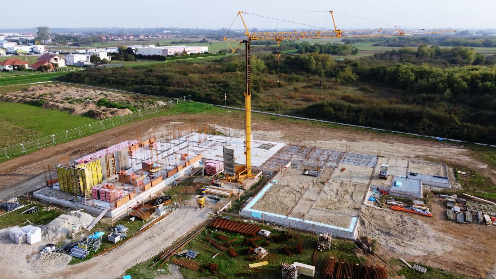
Before a deep geothermal project comes online, it goes through a drilling phase lasting several months: setting up the rig (a mast several dozen metres tall), drilling mud pits, a test flare, casing storage. This site is a private, temporary industrial worksite like any other, with the same access rules as any classified site: badges, safety briefings, areas barred from close overflight (an active rig, the flare), coordination with the site manager before any take-off. Our guide to hosting a drone mission on an industrial site details the prevention plan to arrange.
Technically, periodic photogrammetric monitoring of a drilling site follows the method already proven on building and civil-engineering sites: regular flights, comparison from one pass to the next, an orthophoto and point cloud shared with the project owner. Our guides to drone-based construction progress monitoring and to the open or specific category detail the applicable framework: a typical drilling site, fenced and isolated, most often falls under open category A3, unless it sits close to a built-up area or an airfield.
Once the network is running: thermography of substations and pipework
Once the geothermal plant is connected, a drone no longer works on the well itself — a closed, pressurised installation that cannot be checked from the air — but on the surface infrastructure: heat-exchange substations, backup boiler rooms, above-ground or shallow pipe sections, inspection chambers. The method is the same as for any urban district heating network: a radiometric thermal camera flies the route at night or at dawn during the heating season, and every abnormal temperature difference along the network or at a substation becomes an anomaly to check on the ground.
For a network fed by deep geothermal energy, this check carries particular weight: since the source temperature is fixed — set by depth rather than by a controllable boiler — a drop in performance shows up first in the distribution network's losses rather than in production. Thermography repeated at regular intervals therefore documents, for the operator, the real condition of an often-ageing buried asset: sections of the Île-de-France Dogger network were laid in the 1980s.
Induced seismicity: what a drone can document, and what it cannot
After Vendenheim, one question keeps coming up among residents and local authorities hosting a deep geothermal project: can a drone monitor seismic risk? The answer is no, not directly. Detecting and characterising induced seismicity is the job of a ground seismometer network, installed and monitored by the operator together with the Bureau de recherches géologiques et minières (BRGM, France's geological survey) and the national seismological network — it was this instrumentation, and this alone, that located and characterised the Vendenheim tremors in 2020.
A drone works on a different, complementary register: documenting surface effects. A photogrammetric survey repeated around a sensitive site detects ground settlement, road cracking or an emerging defect on a nearby building, by comparing a digital surface model against its earlier state — exactly the principle a Polish team led by P. Ćwiąkała applied in 2020 to land deformation caused by underground mining, published in Remote Sensing (see the study): a method directly transposable to monitoring ground movement around a geothermal well. Our guide to drone-based ground movement monitoring details this approach, and our guide to crack diagnosis applies just as well to a seismic-related defect as to a drought-related one. In both cases, a drone documents a state and its evolution; it predicts nothing and never replaces the seismic monitoring network required by the operating permit.
Method, flight framework and prices
A mission on a deep geothermal site follows a three-stage sequence depending on the project phase. During drilling: the site manager's consent, zone analysis (the site is often rural or peri-urban, sometimes under a secondary airfield's CTR), flying in open category A3 in the vast majority of cases. Once the network is operating: night-time thermography of substations and the pipe route, with the same formalities as any built-up-area flight where applicable. Following a seismic event flagged by the monitoring network: a rapid comparative photogrammetric survey of the buildings and roads reported by residents.
Orders of magnitude observed in France in 2026 (excl. VAT):
- Monthly photogrammetric monitoring of a drilling site: €400 to €800 per pass, tapering with a subscription for the site's whole duration (6 to 18 months depending on target depth).
- Thermography of a substation and its distribution network: €1,500 to €4,000 depending on length, on the same principle as a conventional district heating network.
- Baseline survey before commissioning (zero-state of surrounding buildings and roads): €800 to €2,000 depending on the number of checkpoints.
- Comparative survey following a reported event: €500 to €1,200 for a rapid response.
Three limits to keep in mind: a drone never replaces the seismometer network required by the operating permit; the inside of the well and its pressurised equipment stay out of reach of an airborne camera; and a baseline survey, carried out before drilling starts, is the only way to have an initial state to compare against any later deterioration. For a deep geothermal project, request a quote stating the phase (drilling, operation, monitoring) and the number of sites involved.
Put it into practice
- Drone construction site monitoring: rates and cities covered from €250
- Construction site monitoring in Saint-Maur-des-Fossés Île-de-France
- Construction site monitoring in Calais Hauts-de-France
- Construction site monitoring in Chambéry Auvergne-Rhône-Alpes